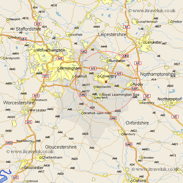
Warwickshire Map Showing Location of Whitley
District: Coventry
Easting: 435162 Northing: 276308
Latitude: 52.38 Longitude: -1.48
 = Whitley
Easting: 435162 Northing: 276308
Latitude: 52.38 Longitude: -1.48
= Whitley
This Whitley map below is supplied by Google. Use the tools in the top left corner to zoom into street level or zoom out for a road map, you may also need to zoom in to see Whitley on the map. Click and drag the map to move around. If the map fails to load try and refresh your browser or zoom in or out (+ or -).
Update - it seems Google no longer allow people to use their maps for free! This Whitley map sometimes loads and sometimes gives a error. I am working on a solution.
Closest 30 Towns or Cities to Whitley (Population over 500)
Baginton 1.85km Stoneleigh 4.34km Bubbenhall 5.67km Allesley 5.85km Coventry 5.85km Brandon 5.95km Keresley 6.51km Wolston 7.03km Kenilworth 7.73km Corley 8.69km Brinklow 9.24km Shilton 9.32km Bedworth 9.34km Leamington Spa 9.87km Royal Leamington Spa 9.87km Leamington 9.87km Bulkington 10.32km Berkswell 10.35km Berkeswell 10.35km Meriden 10.62km Fillongley 11.49km Long Lawford 12.58km Warwick 13.03km Wolvey 13.65km Temple Balsall 13.7km Hatton 14.63km Long Itchington 14.64km Arley 14.64km Dunchurch 14.68km Nuneaton 14.88km