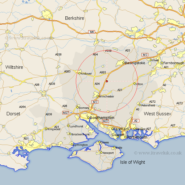
Hampshire Map Showing Location of West Stratton
District: Winchester
Easting: 453617 Northing: 139308
Latitude: 51.15 Longitude: -1.23
 = West Stratton
Easting: 453617 Northing: 139308
Latitude: 51.15 Longitude: -1.23
= West Stratton
This West Stratton map below is supplied by Google. Use the tools in the top left corner to zoom into street level or zoom out for a road map, you may also need to zoom in to see West Stratton on the map. Click and drag the map to move around. If the map fails to load try and refresh your browser or zoom in or out (+ or -).
Update - it seems Google no longer allow people to use their maps for free! This West Stratton map sometimes loads and sometimes gives a error. I am working on a solution.
Closest 30 Towns or Cities to West Stratton (Population over 500)
Micheldever 2.98km Wonston 5.81km North Waltham 6.56km Dummer 8.04km New Alresford 8.76km Kings Worthy 8.76km Overton 9.34km Barton Stacey 9.48km Whitchurch 10.18km Oakley 11.65km Winchester 11.89km Cheriton 12.05km Longparish 12.2km Medstead 12.2km Four Marks 13.32km Chilbolton 13.95km Sparsholt 13.98km Ropley 13.98km Bramdean 15.32km Twyford 15.92km Compton 16.39km Basingstoke 16.66km Owslebury 16.84km Clatford 17.53km Lower Clatford 17.53km Goodworth Clatford 17.53km Alton 17.54km Upper Clatford 17.82km Upton Grey 17.87km West Meon 18.15km