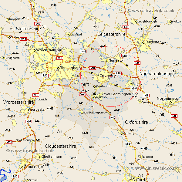
Warwickshire Map Showing Location of Walsgrave
District: Coventry
Easting: 438536 Northing: 280048
Latitude: 52.42 Longitude: -1.43
 = Walsgrave
Easting: 438536 Northing: 280048
Latitude: 52.42 Longitude: -1.43
= Walsgrave
This Walsgrave map below is supplied by Google. Use the tools in the top left corner to zoom into street level or zoom out for a road map, you may also need to zoom in to see Walsgrave on the map. Click and drag the map to move around. If the map fails to load try and refresh your browser or zoom in or out (+ or -).
Update - it seems Google no longer allow people to use their maps for free! This Walsgrave map sometimes loads and sometimes gives a error. I am working on a solution.
Closest 30 Towns or Cities to Walsgrave (Population over 500)
Shilton 4.34km Bulkington 5.67km Brinklow 5.95km Brandon 6km Bedworth 6km Wolston 6.51km Baginton 6.51km Keresley 7.03km Coventry 7.91km Allesley 7.91km Wolvey 8.67km Corley 8.73km Stoneleigh 9.33km Bubbenhall 9.54km Long Lawford 10.62km Nuneaton 11.35km Fillongley 11.59km Meriden 12.57km Kenilworth 12.6km Rugby 13.63km Berkswell 13.69km Berkeswell 13.69km Arley 13.75km Dunchurch 13.77km Leamington 14.65km Royal Leamington Spa 14.65km Leamington Spa 14.65km Clifton 15.16km Clifton-on-Dunsmore 15.16km Clifton on Dunsmore 15.16km