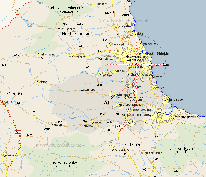
Durham Map Showing Location of Usworth
District: Sunderland
Easting: 432047 Northing: 558123
Latitude: 54.92 Longitude: -1.5
 = Usworth
Easting: 432047 Northing: 558123
Latitude: 54.92 Longitude: -1.5
= Usworth
This Usworth map below is supplied by Google. Use the tools in the top left corner to zoom into street level or zoom out for a road map, you may also need to zoom in to see Usworth on the map. Click and drag the map to move around. If the map fails to load try and refresh your browser or zoom in or out (+ or -).
Update - it seems Google no longer allow people to use their maps for free! This Usworth map sometimes loads and sometimes gives a error. I am working on a solution.
Closest 30 Towns or Cities to Usworth (Population over 500)
Washington 2.14km Washington New Town 2.14km Boldon 4.27km West Boldon 4.27km Birtley 5.65km Hebburn-on-Tyne 5.66km Hebburn 5.66km Hebburn on Tyne 5.66km Felling 5.73km Lamesley 6.39km Sunderland 7.48km Ouston Moor 7.69km Ouston 7.69km Houghton le Spring 7.72km Jarrow-on-Tyne 7.77km Jarrow on Tyne 7.77km Jarrow 7.77km Gateshead 8.14km Gateshead on Tyne 8.14km Gateshead-on-Tyne 8.14km Pelton 8.47km Chester-le-Street 8.56km Whitburn 9.33km Marsden 10.17km West Rainton 11.12km Edmondsley 11.3km Hetton le Hole 11.57km Whickham 11.86km Seaton 11.9km Murton 12.33km