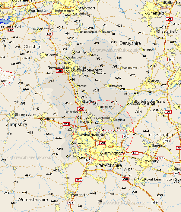
Staffordshire Map Showing Location of Upper Stonnall
District: Walsall
Easting: 406769 Northing: 302147
Latitude: 52.62 Longitude: -1.9
 = Upper Stonnall
Easting: 406769 Northing: 302147
Latitude: 52.62 Longitude: -1.9
= Upper Stonnall
This Upper Stonnall map below is supplied by Google. Use the tools in the top left corner to zoom into street level or zoom out for a road map, you may also need to zoom in to see Upper Stonnall on the map. Click and drag the map to move around. If the map fails to load try and refresh your browser or zoom in or out (+ or -).
Update - it seems Google no longer allow people to use their maps for free! This Upper Stonnall map sometimes loads and sometimes gives a error. I am working on a solution.
Closest 30 Towns or Cities to Upper Stonnall (Population over 500)
Aldridge 2.17km Brownhills 2.91km Pelsall 3.38km Rushall 3.85km Hammerwich 3.87km Shenstone 4.86km Walsall 7km Wallsall 7km Burntwood 7.4km Norton Canes 8.66km Lichfield 9.3km Great Wyrley 9.81km Wyrley 9.81km Cannock 10.81km Longdon 11.18km Hednesford 11.46km Whittington 11.65km Drayton Bassett 12.52km Bilston 12.56km Huntington 12.91km West Bromwich 13.01km Armitage 13.01km Fazeley 13.5km Shareshill 13.56km Elford 14.42km Tamworth 14.63km Smethwick 14.63km Wigginton 15.08km Alrewas 15.81km Wolverhampton 16.19km