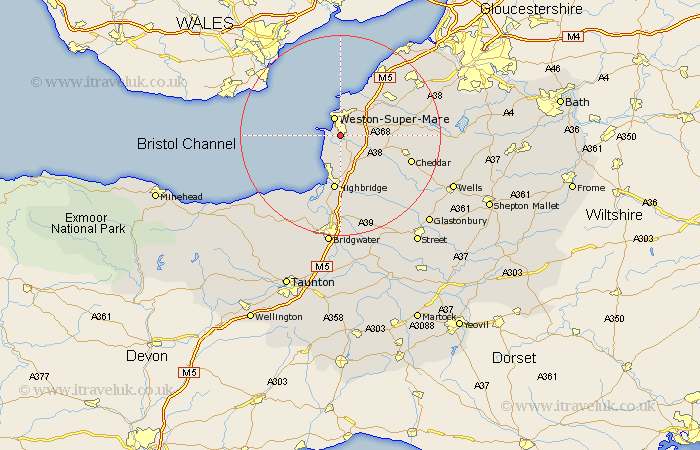
Somerset Map Showing Location of Uphill
Easting: 332639 Northing: 158009
Latitude: 51.32 Longitude: -2.97
 = Uphill
Latitude: 51.32 Longitude: -2.97
= Uphill
This Uphill map below is supplied by Google. Use the tools in the top left corner to zoom into street level or zoom out for a road map, you may also need to zoom in to see Uphill on the map. Click and drag the map to move around. If the map fails to load try and refresh your browser or zoom in or out (+ or -).
Update - it seems Google no longer allow people to use their maps for free! This Uphill map sometimes loads and sometimes gives a error. I am working on a solution.
Closest 30 Towns or Cities to Uphill (Population over 500)
Bleadon 2.19km Hutton 2.32km Weston-Super-Mare 3.88km Lympsham 3.89km Brean 5.09km Locking 6.08km Berrow 6.56km Banwell 6.95km Brent Knoll 7.42km Wick St. Lawrence 8.18km Wick St Lawrence 8.18km Wick Saint Lawrence 8.18km Sandford 9.45km Burnham-on-Sea 9.56km Burnham on Sea 9.56km Burnham 9.56km Weare 10.81km Highbridge 11.18km Churchill 11.73km Shipham 11.73km Mark 12.05km Axbridge 12.17km Yatton 12.78km Congresbury 12.84km Huntspill 13.03km Wrington 14.96km Cheddar 14.98km Pawlett 15.01km Wedmore 15.25km Clevedon 15.29km