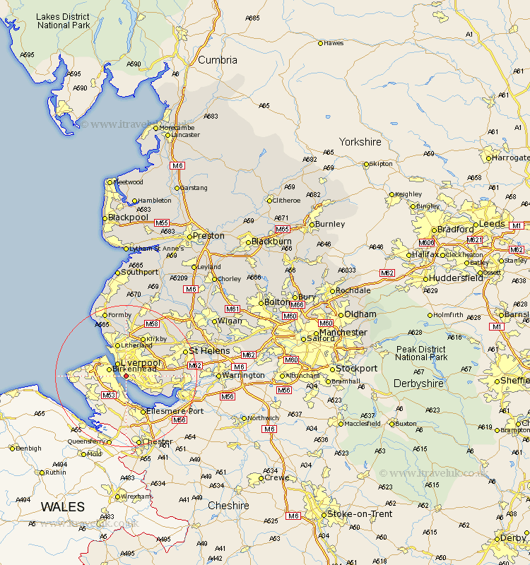
Lancashire Map Showing Location of Toxteth
District: Liverpool
Easting: 335709 Northing: 387848
Latitude: 53.38 Longitude: -2.97
 = Toxteth
Easting: 335709 Northing: 387848
Latitude: 53.38 Longitude: -2.97
= Toxteth
This Toxteth map below is supplied by Google. Use the tools in the top left corner to zoom into street level or zoom out for a road map, you may also need to zoom in to see Toxteth on the map. Click and drag the map to move around. If the map fails to load try and refresh your browser or zoom in or out (+ or -).
Update - it seems Google no longer allow people to use their maps for free! This Toxteth map sometimes loads and sometimes gives a error. I am working on a solution.
Closest 30 Towns or Cities to Toxteth (Population over 500)
Liverpool 4.32km Huyton with Roby 7.96km Huyton 7.96km Litherland 9.53km Aintree 9.53km Bootle 9.85km Halewood 10.12km Knowsley 10.71km Crosby 11.4km Melling 11.6km Prescott 11.66km Prescot 11.66km Kirkby 11.96km Sefton 12.98km Thornton 13.16km Cronton 13.26km Rainhill 13.39km Rainhull 13.39km Eccleston 14.24km Lydiate 14.83km Maghull 14.87km Ince Blundell 15.2km Hightown 15.83km Aughton 17km St Helens 17.15km St. Helens 17.15km Saint Helens 17.15km Bickerstaffe 17.26km Rainford 18.49km Formby 19.34km