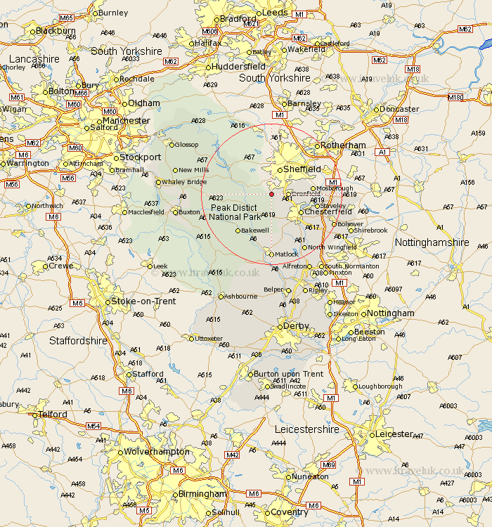
Derbyshire Map Showing Location of Totley
District: North East Derbyshire
Easting: 431097 Northing: 378248
Latitude: 53.3 Longitude: -1.53
 = Totley
Easting: 431097 Northing: 378248
Latitude: 53.3 Longitude: -1.53
= Totley
This Totley map below is supplied by Google. Use the tools in the top left corner to zoom into street level or zoom out for a road map, you may also need to zoom in to see Totley on the map. Click and drag the map to move around. If the map fails to load try and refresh your browser or zoom in or out (+ or -).
Update - it seems Google no longer allow people to use their maps for free! This Totley map sometimes loads and sometimes gives a error. I am working on a solution.
Closest 30 Towns or Cities to Totley (Population over 500)
Holmesfield 2.16km Dronfield 4.43km Barlow 4.98km Grindleford Bridge 6.9km Grindleford 6.9km Unstone 6.9km Old Brampton 7.74km Brampton 7.74km Hathersage 7.97km Stoney Middleton 8.59km Stony Middleton 8.59km Eyam 9.05km Baslow 9.26km Chesterfield 9.54km Walton 10.27km Brimington 10.47km Eckington 11.08km Mosbrough 11.23km Mosborough 11.23km Bamford 11.41km Staveley 12.74km Wingerworth 12.96km Great Longstone 13.34km Longstone 13.34km Bakewell 14.22km Killamarsh 14.51km Bradwell 14.51km Ashover 15.19km Hope 15.43km Darley Dale 15.47km