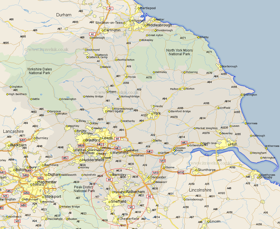
Yorkshire Map Showing Location of Tinsley
District: Sheffield
Easting: 439889 Northing: 389438
Latitude: 53.4 Longitude: -1.4
 = Tinsley
Easting: 439889 Northing: 389438
Latitude: 53.4 Longitude: -1.4
= Tinsley
This Tinsley map below is supplied by Google. Use the tools in the top left corner to zoom into street level or zoom out for a road map, you may also need to zoom in to see Tinsley on the map. Click and drag the map to move around. If the map fails to load try and refresh your browser or zoom in or out (+ or -).
Update - it seems Google no longer allow people to use their maps for free! This Tinsley map sometimes loads and sometimes gives a error. I am working on a solution.
Closest 30 Towns or Cities to Tinsley (Population over 500)
Orgreave 2.89km Treeton 3.8km Whiston 4.42km Rotherdam 4.97km Rotherham 4.97km Ecclesfield 5.76km Rawmarsh 7.1km Wentworth 7.5km Sheffield 7.6km Wickersley 7.95km Beighton 8.64km Thrybergh 8.65km Aston 8.65km Bramley 9.03km Brampton en le Morthen 9.03km Brampton 9.03km Brampton en le Morthern 9.03km Tankersley 10.26km Oughtibridge 10.61km Wharncliffe 10.61km Wharncliffe Side 10.61km Wales 10.72km Swinton 10.78km Todwick 11.4km Wath-on-Dearne 11.6km Wath upon Dearne 11.6km Wath 11.6km Wath on Dearne 11.6km Hoyland 11.6km Hoyland Nether 11.6km