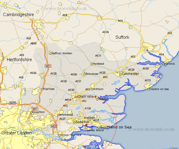
Essex Map Showing Location of Thundersley
District: Castle Point
Easting: 579089 Northing: 186672
Latitude: 51.55 Longitude: 0.58
 = Thundersley
Easting: 579089 Northing: 186672
Latitude: 51.55 Longitude: 0.58
= Thundersley
This Thundersley map below is supplied by Google. Use the tools in the top left corner to zoom into street level or zoom out for a road map, you may also need to zoom in to see Thundersley on the map. Click and drag the map to move around. If the map fails to load try and refresh your browser or zoom in or out (+ or -).
Update - it seems Google no longer allow people to use their maps for free! This Thundersley map sometimes loads and sometimes gives a error. I am working on a solution.
Closest 30 Towns or Cities to Thundersley (Population over 500)
Canvey Island 1.86km South Benfleet 2.96km Benfleet 2.96km Rayleigh 4.36km Rawreth 5.68km Leigh-on-Sea 5.76km Leigh 5.76km Leigh on Sea 5.76km Hockley 5.91km Hawkwell 6.85km Wickford 7.22km Basildon 8.28km Southend-on-Sea 8.28km Southend on Sea 8.28km Southend 8.28km Corringham 9.78km Rochford 9.93km South Hanningfield 10.34km Woodham Ferrers 11.18km Rettendon 11.36km North Fambridge 11.55km Fambridge 11.55km Ramsden Heath 11.83km Great Burstead 12.1km West Hanningfield 12.52km Canewdon 12.79km Canewelon 12.79km Stanford le Hope 12.8km East Hanningfield 13.18km Billericay 13.7km