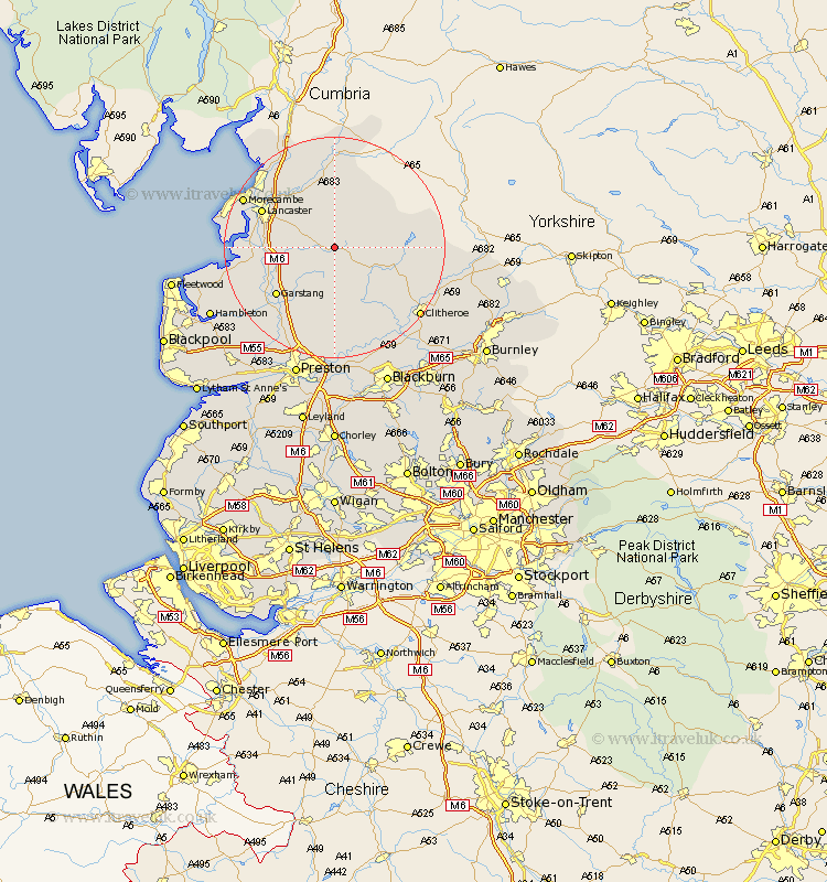
Lancashire Map Showing Location of Tarnbrook
District: Lancaster
Easting: 359565 Northing: 454335
Latitude: 53.98 Longitude: -2.62
 = Tarnbrook
Easting: 359565 Northing: 454335
Latitude: 53.98 Longitude: -2.62
= Tarnbrook
This Tarnbrook map below is supplied by Google. Use the tools in the top left corner to zoom into street level or zoom out for a road map, you may also need to zoom in to see Tarnbrook on the map. Click and drag the map to move around. If the map fails to load try and refresh your browser or zoom in or out (+ or -).
Update - it seems Google no longer allow people to use their maps for free! This Tarnbrook map sometimes loads and sometimes gives a error. I am working on a solution.
Closest 30 Towns or Cities to Tarnbrook (Population over 500)
Chipping 11.33km Caton 11.34km Forton 11.51km Garstang 13.5km Cockerham 13.6km Lancaster 14.09km Claughton 14.52km Claughton on Brock 14.52km Claughton-on-Brock 14.52km Overton 15.37km Bolton le Sands 15.56km Nether Kellet 15.63km Catterall 16.26km Over Kellet 16.67km Longridge 16.82km Waddington 17.18km Middleton 17.53km Carnforth 17.77km Morecambe 17.84km Morecombe 17.84km Grindleton 18.8km Goosnargh 18.81km Clitheroe 19.22km Warton 19.34km Barton 20.04km Broughton 20.04km Pilling 20.4km Grimsargh 20.41km Chatburn 20.7km Ribchester 21.1km