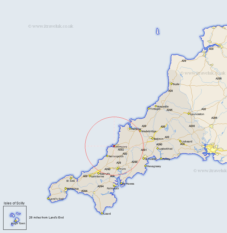
Cornwall Map Showing Location of Newquay
Population: 19555
Area Size (ha): 502
District: Restormel
Easting: 180983 Northing: 62037
Latitude: 50.42 Longitude: -5.08
 = Newquay
Area Size (ha): 502
District: Restormel
Easting: 180983 Northing: 62037
Latitude: 50.42 Longitude: -5.08
= Newquay
This Newquay map below is supplied by Google. Use the tools in the top left corner to zoom into street level or zoom out for a road map, you may also need to zoom in to see Newquay on the map. Click and drag the map to move around. If the map fails to load try and refresh your browser or zoom in or out (+ or -).
Update - it seems Google no longer allow people to use their maps for free! This Newquay map sometimes loads and sometimes gives a error. I am working on a solution.
Closest 30 Towns or Cities to Newquay (Population over 500)
Crantock 3.01km Cubert 4.4km Perranporth 8.79km Perranzabuloe 10.41km St Columb 10.79km Saint Columb Major 10.79km St. Columb 10.79km St Columb Major 10.79km St. Columb Major 10.79km Saint Columb 10.79km St. Merryn 13.85km Saint Merryn 13.85km St Merryn 13.85km Ladock 14.6km Saint Agnes 14.6km St. Agnes 14.6km St Agnes 14.6km St Dennis 14.65km Saint Dennis 14.65km St. Denis 14.65km St. Dennis 14.65km Saint Denis 14.65km St Denis 14.65km St Issey 15km St. Issey 15km Saint Issey 15km St Stephen 15.97km Saint Stephen 15.97km St. Stephen 15.97km Kenwyn 16.72km