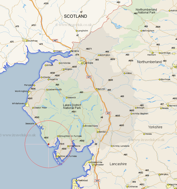
Cumbria Map Showing Location of Silecroft
District: Copeland
Easting: 313066 Northing: 480946
Latitude: 54.22 Longitude: -3.33
 = Silecroft
Easting: 313066 Northing: 480946
Latitude: 54.22 Longitude: -3.33
= Silecroft
This Silecroft map below is supplied by Google. Use the tools in the top left corner to zoom into street level or zoom out for a road map, you may also need to zoom in to see Silecroft on the map. Click and drag the map to move around. If the map fails to load try and refresh your browser or zoom in or out (+ or -).
Update - it seems Google no longer allow people to use their maps for free! This Silecroft map sometimes loads and sometimes gives a error. I am working on a solution.
Closest 30 Towns or Cities to Silecroft (Population over 500)
Millom 4.72km Bootle 5.97km Askam in Furness 8.45km Askam 8.45km Dalton in Furness 13.14km Dalton 13.14km Lindal in Furness 13.16km Lindal 13.16km Pennington 13.53km Ulverstone 15.29km Ulverston 15.29km Great Urswick 15.93km Isle of Walney 16.2km Aldingham 18.82km Colton 19.23km Haverthwaite 20.67km Seascale 20.93km Gosforth 21.39km Conistan 24.04km Coniston 24.04km Lower Holker 24.14km Holker 24.14km Hawkshead 27.32km Egremont 30.23km Windermere 31.77km Ambleside 32.56km Arnside 32.73km Cleator Moor 35.41km Levens 35.94km St Bega 36.46km