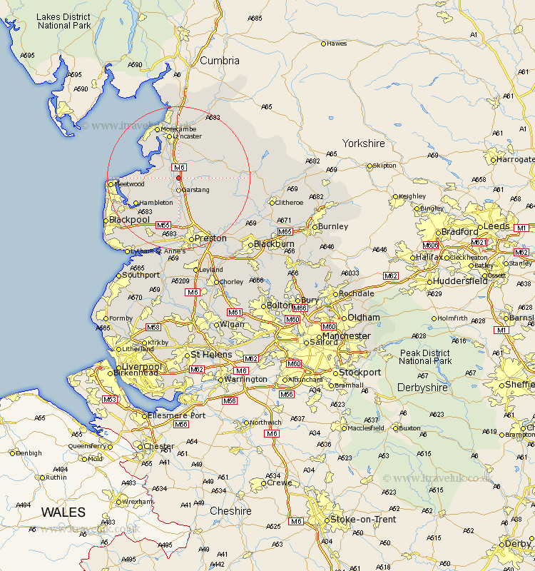
Lancashire Map Showing Location of Scorton
District: Wyre
Easting: 349670 Northing: 448869
Latitude: 53.93 Longitude: -2.77
 = Scorton
Easting: 349670 Northing: 448869
Latitude: 53.93 Longitude: -2.77
= Scorton
This Scorton map below is supplied by Google. Use the tools in the top left corner to zoom into street level or zoom out for a road map, you may also need to zoom in to see Scorton on the map. Click and drag the map to move around. If the map fails to load try and refresh your browser or zoom in or out (+ or -).
Update - it seems Google no longer allow people to use their maps for free! This Scorton map sometimes loads and sometimes gives a error. I am working on a solution.
Closest 30 Towns or Cities to Scorton (Population over 500)
Forton 2.15km Garstang 3.7km Cockerham 3.76km Catterall 7.41km Claughton 8.1km Claughton on Brock 8.1km Claughton-on-Brock 8.1km Overton 9.21km Pilling 9.82km Middleton 10.64km Great Eccleston 11.35km Eccleston 11.35km Inskip 11.95km Lancaster 12.84km Barton 13.15km Broughton 13.15km Hambleton 13.2km Preesall 13.23km Chipping 13.23km Elswick 13.49km Goosnargh 14.53km Woodplumpton 14.86km Caton 15.19km Singleton 15.59km Great Singleton 15.59km Morecambe 15.8km Morecombe 15.8km Longridge 16.37km Bolton le Sands 16.72km Grimsargh 17.21km