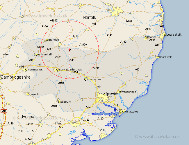
Suffolk Map Showing Location of Rushford
District: St. Edmundsbury
Easting: 592805 Northing: 279960
Latitude: 52.38 Longitude: 0.83
 = Rushford
Easting: 592805 Northing: 279960
Latitude: 52.38 Longitude: 0.83
= Rushford
This Rushford map below is supplied by Google. Use the tools in the top left corner to zoom into street level or zoom out for a road map, you may also need to zoom in to see Rushford on the map. Click and drag the map to move around. If the map fails to load try and refresh your browser or zoom in or out (+ or -).
Update - it seems Google no longer allow people to use their maps for free! This Rushford map sometimes loads and sometimes gives a error. I am working on a solution.
Closest 30 Towns or Cities to Rushford (Population over 500)
Barningham 5.85km Honington 6km Hopton 7.03km Barnham 7.04km Bardwell 7.49km Hepworth 7.93km Troston 8.15km Stanton 8.68km Ixworth 9.26km Redgrave 11.46km Badwell Ash 12.48km Pakenham 12.96km Botesdale 13.63km Great Barton 13.73km Thurston 14.87km Norton 14.99km Wortham 15.17km Fornham All Saints 15.82km Brandon 16.46km Bury St Edmunds 16.81km Bury Saint Edmunds 16.81km Bury St. Edmunds 16.81km Gislingham 17.39km Elmswell 17.62km Bacton 17.98km Risby 18.78km Lakenheath 18.92km Lake Heath 18.92km Rushbrooke 19.07km Woolpit 19.07km