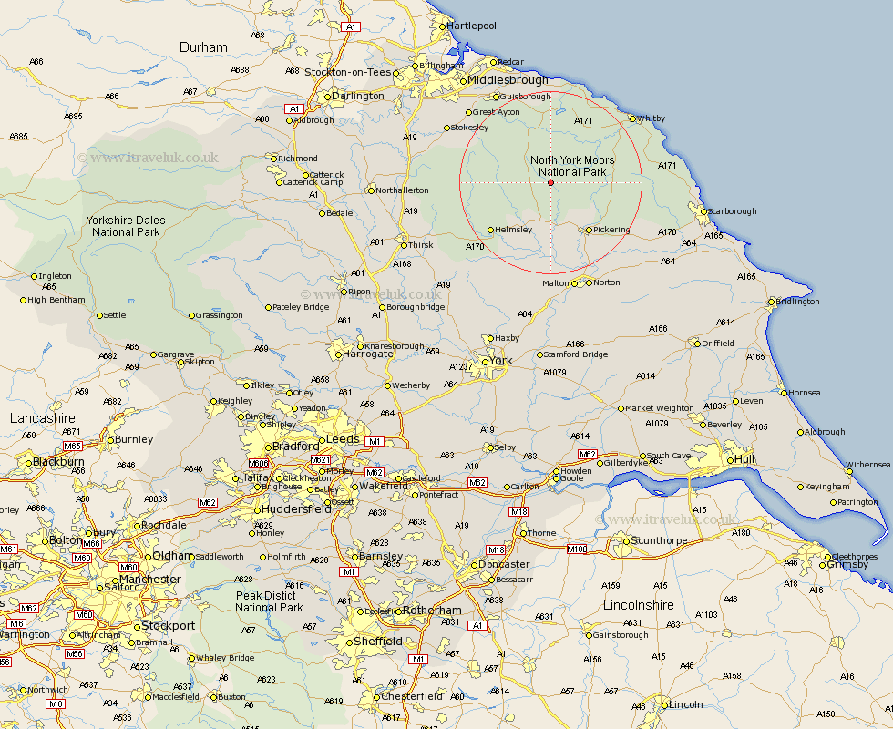
Yorkshire Map Showing Location of Rosedale Abbey
District: Ryedale
Easting: 472573 Northing: 495531
Latitude: 54.35 Longitude: -0.88
 = Rosedale Abbey
Easting: 472573 Northing: 495531
Latitude: 54.35 Longitude: -0.88
= Rosedale Abbey
This Rosedale Abbey map below is supplied by Google. Use the tools in the top left corner to zoom into street level or zoom out for a road map, you may also need to zoom in to see Rosedale Abbey on the map. Click and drag the map to move around. If the map fails to load try and refresh your browser or zoom in or out (+ or -).
Update - it seems Google no longer allow people to use their maps for free! This Rosedale Abbey map sometimes loads and sometimes gives a error. I am working on a solution.
Closest 30 Towns or Cities to Rosedale Abbey (Population over 500)
Kirkby Moorside 9.81km Kirby Moorside 9.81km Pickering 13.45km Nawton 14.51km Helmsley 16.28km Ingleby 16.81km Thornton-le-Dale 16.89km Thornton Dale 16.89km Sleights 17.9km Great Broughton 21.45km Hinderwell 21.73km Loftus 22.24km Whitby 22.33km Slingsby 22.34km Ampleforth 22.53km Guisborough 23.06km Skelton-in-Cleveland 23.16km Skelton 23.16km Great Ayton 23.23km Hawsker 23.32km Fylingdales 23.85km Yedingham 24.04km Stokesley 24.26km Brotton 24.31km Snainton 24.47km Malton 24.56km Whorlton 24.88km Norton 24.9km Seamer 25.17km Rillington 25.23km