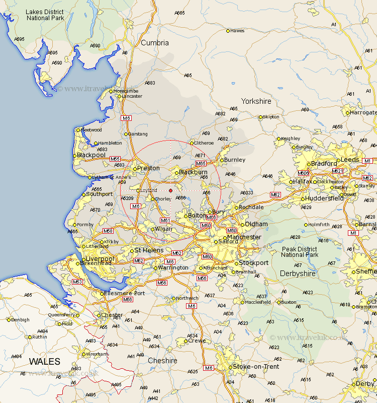
Lancashire Map Showing Location of Roddlesworth
Easting: 365879 Northing: 420909
Latitude: 53.68 Longitude: -2.52
 = Roddlesworth
Latitude: 53.68 Longitude: -2.52
= Roddlesworth
This Roddlesworth map below is supplied by Google. Use the tools in the top left corner to zoom into street level or zoom out for a road map, you may also need to zoom in to see Roddlesworth on the map. Click and drag the map to move around. If the map fails to load try and refresh your browser or zoom in or out (+ or -).
Update - it seems Google no longer allow people to use their maps for free! This Roddlesworth map sometimes loads and sometimes gives a error. I am working on a solution.
Closest 30 Towns or Cities to Roddlesworth (Population over 500)
Withnell 2.87km Brinscall 3.29km Darwen 3.78km Hoghton 5.75km Heapey 6.84km Chorley 7.56km Blackburn 7.73km Mellor 9.34km Oswaldtwistle 9.48km Turton 9.49km Horwich 9.52km Rishton 9.92km Haigh 10.25km Euxton 10.55km Adlington 10.77km Wilpshire 11.33km Samlesbury 11.37km Church 11.49km Coppull 11.49km Blackrod 11.96km Bromley Cross 12.04km Bradshaw 12.04km Leyland 12.07km Haslingden 12.21km Bolton 12.4km Farrington 12.63km Farington 12.63km Clayton-le-Moors 12.77km Clayton le Moor 12.77km Clayton le Moors 12.77km