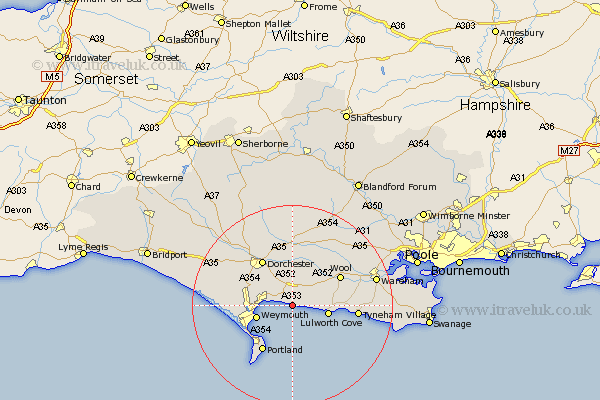
Dorset Map Showing Location of Ringstead
District: West Dorset
Easting: 375249 Northing: 81634
Latitude: 50.63 Longitude: -2.35
 = Ringstead
Easting: 375249 Northing: 81634
Latitude: 50.63 Longitude: -2.35
= Ringstead
This Ringstead map below is supplied by Google. Use the tools in the top left corner to zoom into street level or zoom out for a road map, you may also need to zoom in to see Ringstead on the map. Click and drag the map to move around. If the map fails to load try and refresh your browser or zoom in or out (+ or -).
Update - it seems Google no longer allow people to use their maps for free! This Ringstead map sometimes loads and sometimes gives a error. I am working on a solution.
Closest 30 Towns or Cities to Ringstead (Population over 500)
Osmington 1.17km Upton 1.8km Preston 5.05km Overcombe 5.79km Broadmayne 6.04km Winfrith 6.16km Winfrith Newburgh 6.16km Bincombe 7.29km Lulworth Cove 7.29km West Lulworth 7.29km Weymouth 7.51km Bovington Camp 10.23km Chickerell 10.74km West Chickerel 10.74km Portland 10.97km Isle of Portland 10.97km Island of Portland 10.97km Dorchester 10.98km Wool 11.12km Fortuneswell 11.64km Weston 12.47km Puddletown 12.98km Piddletown 12.98km Charminster 13.16km Easton 13.17km Milborne Saint Andrew 15.56km Milborne 15.56km Milborne St. Andrew 15.56km Milborne St Andrew 15.56km Portisham 15.72km