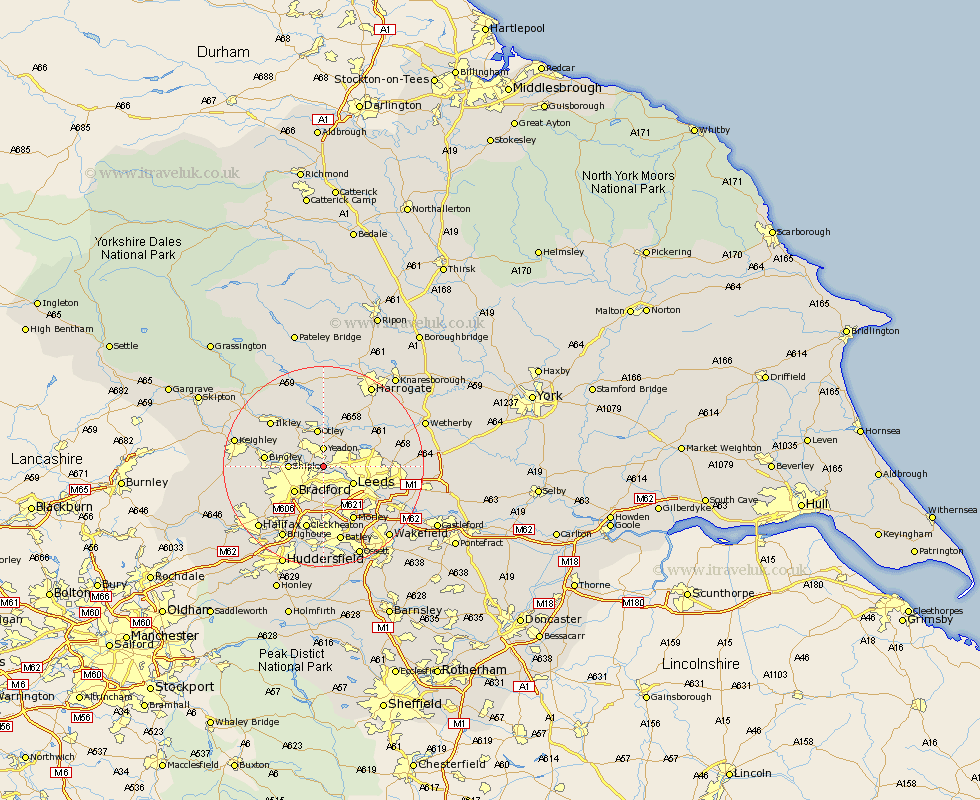
Yorkshire Map Showing Location of Rawdon
District: Leeds
Easting: 421934 Northing: 437523
Latitude: 53.83 Longitude: -1.67
 = Rawdon
Easting: 421934 Northing: 437523
Latitude: 53.83 Longitude: -1.67
= Rawdon
This Rawdon map below is supplied by Google. Use the tools in the top left corner to zoom into street level or zoom out for a road map, you may also need to zoom in to see Rawdon on the map. Click and drag the map to move around. If the map fails to load try and refresh your browser or zoom in or out (+ or -).
Update - it seems Google no longer allow people to use their maps for free! This Rawdon map sometimes loads and sometimes gives a error. I am working on a solution.
Closest 30 Towns or Cities to Rawdon (Population over 500)
Horsforth 2.19km Yeadon 3.71km Guiseley 4.96km Pudsey 5.56km Bramhope 6.45km Shipley 6.56km Leeds 6.61km Baildon 6.82km Menston 7.07km Otley 7.5km Bradford 7.8km Poole 8.11km Pool 8.11km Pool-in-Wharfedale 8.11km Arthington Junction Station 8.61km Arthington 8.61km Burley 10.76km Burley in Wharfedale 10.76km Bingley 11.09km Weeton 11.36km Morley 12.39km Harewood 13.21km Wilsden 13.26km Cleckheaton 13.37km Ilkley 13.52km Scarcroft 14.69km Heckmondwike 14.82km Liversedge 14.98km Dewsbury 15.18km Drewsbury 15.18km