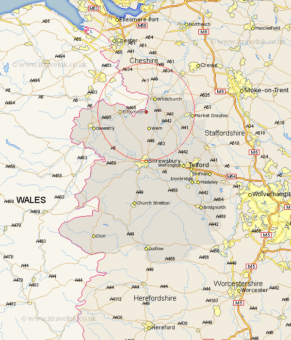
Shropshire Map Showing Location of Plattlane
District: North Shropshire
Easting: 350696 Northing: 335762
Latitude: 52.92 Longitude: -2.73
 = Plattlane
Easting: 350696 Northing: 335762
Latitude: 52.92 Longitude: -2.73
= Plattlane
This Plattlane map below is supplied by Google. Use the tools in the top left corner to zoom into street level or zoom out for a road map, you may also need to zoom in to see Plattlane on the map. Click and drag the map to move around. If the map fails to load try and refresh your browser or zoom in or out (+ or -).
Update - it seems Google no longer allow people to use their maps for free! This Plattlane map sometimes loads and sometimes gives a error. I am working on a solution.
Closest 30 Towns or Cities to Plattlane (Population over 500)
Whixall 2.17km Precs 5.81km Prees 5.81km Whitchurch 6.49km Loppington 6.49km Wem 7.5km Welshampton 8.04km Ellesmere 10.06km Cockshut 10.78km Cockshutt 10.78km Stanton 12.45km Stanton upon Hine Heath 12.45km Hodnet 12.5km Stoke upon Tern 15.33km Stoke 15.33km Shawbury 15.85km Hadnall 16.72km Baschurch 17.33km Market Drayton 17.98km Whittington 18.73km Norton in Hales 19.35km Great Ness 20.09km West Felton 20.13km Gobowen 20.46km Ercall Magna 20.59km High Ercall 20.59km Bicton 21.15km Hinstock 21.16km Saint Martins 21.43km St. Martins 21.43km