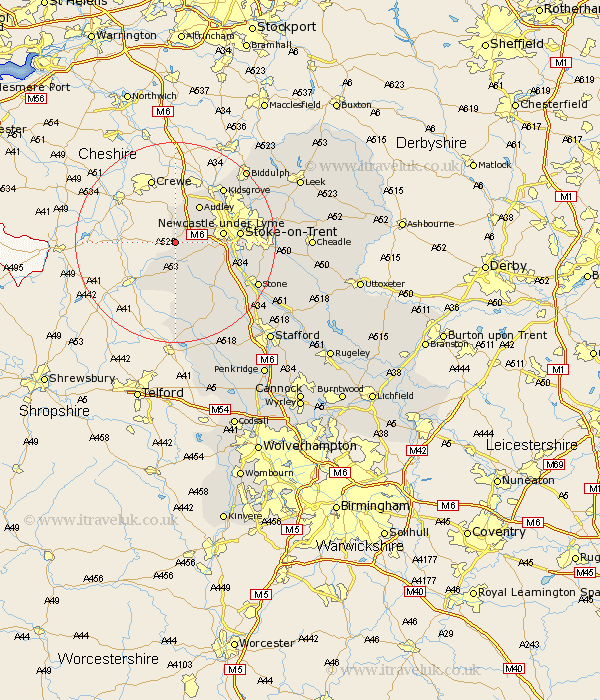
Staffordshire Map Showing Location of Onneley
District: Newcastle-under-Lyme
Easting: 375385 Northing: 342981
Latitude: 52.98 Longitude: -2.37
 = Onneley
Easting: 375385 Northing: 342981
Latitude: 52.98 Longitude: -2.37
= Onneley
This Onneley map below is supplied by Google. Use the tools in the top left corner to zoom into street level or zoom out for a road map, you may also need to zoom in to see Onneley on the map. Click and drag the map to move around. If the map fails to load try and refresh your browser or zoom in or out (+ or -).
Update - it seems Google no longer allow people to use their maps for free! This Onneley map sometimes loads and sometimes gives a error. I am working on a solution.
Closest 30 Towns or Cities to Onneley (Population over 500)
Madeley 2.9km Betley 5.56km Whitmore 5.88km Keele 5.88km Silverdale 6.7km Audley 8.65km Newcastle-under-Lyme 9.12km Newcastle under Lyme 9.12km Standon 9.27km Stoke on Trent 12.41km Stoke-on-Trent 12.41km Stoke-upon-Trent 12.41km Stoke 12.41km Stoke upon Trent 12.41km Swinnerton 12.48km Swynnerton 12.48km Barlaston 13.9km Kidsgrove 14.25km Adbaston 16.71km Eccleshall 16.76km High Offley 16.83km Stone 18.17km Biddulph 19.97km Endon 20.08km Caverswall 20.08km Hilderstone 20.38km Fulford 20.43km Seighford 22.23km Draycott 22.4km Draycott in the Moors 22.4km