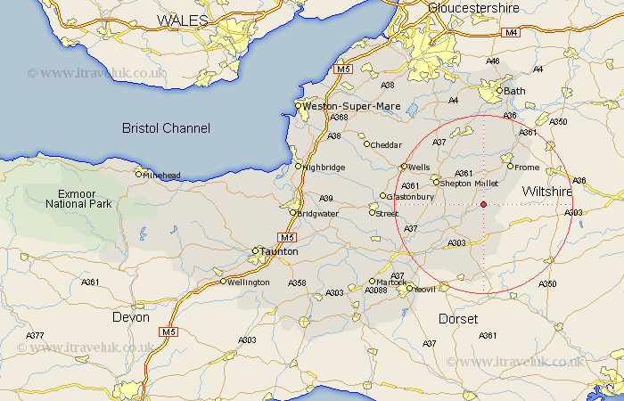
Somerset Map Showing Location of North Brewham
District: South Somerset
Easting: 372015 Northing: 137248
Latitude: 51.13 Longitude: -2.4
 = North Brewham
Easting: 372015 Northing: 137248
Latitude: 51.13 Longitude: -2.4
= North Brewham
This North Brewham map below is supplied by Google. Use the tools in the top left corner to zoom into street level or zoom out for a road map, you may also need to zoom in to see North Brewham on the map. Click and drag the map to move around. If the map fails to load try and refresh your browser or zoom in or out (+ or -).
Update - it seems Google no longer allow people to use their maps for free! This North Brewham map sometimes loads and sometimes gives a error. I am working on a solution.
Closest 30 Towns or Cities to North Brewham (Population over 500)
Redlynch 4.37km Bruton 4.37km Wincanton 5.56km Evercreech 7.22km Nunney 7.51km Ditcheat 9.49km Castle Cary 9.86km Leigh on Mendip 9.91km Leigh upon Mendip 9.91km Leigh-on-Mendip 9.91km Leigh 9.91km Frome 10.94km Mells 11.12km Coleford 11.47km Shepun 11.85km Shepton Mallet 11.85km Holcombe 12.55km Pilton 13.32km North Cadbury 13.79km Kilmersden 15.01km Kilmersdon 15.01km Sparkford 16.1km Stratton 16.39km Chilcompton 16.39km Stratton-on-the-Fosse 16.39km Stratton on the Fosse 16.39km Beckington 16.91km West Pennard 17.54km Baltonsborough 17.54km Barton St. David 17.84km