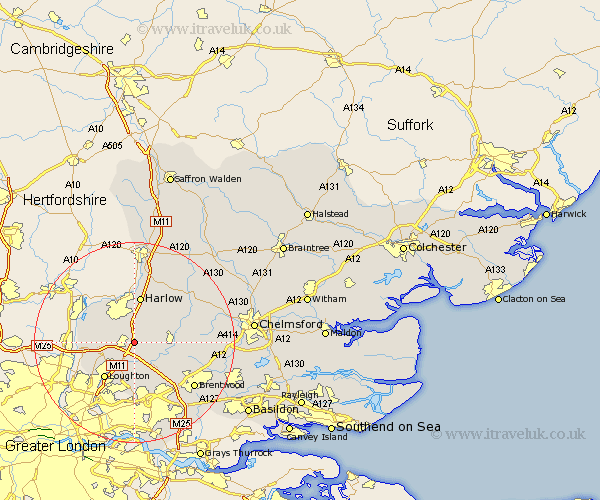
Essex Map Showing Location of North Weald Bassett
Population: 4162
Area Size (ha): 97
District: Epping Forest
Easting: 548560 Northing: 202378
Latitude: 51.7 Longitude: 0.15
 = North Weald Bassett
Area Size (ha): 97
District: Epping Forest
Easting: 548560 Northing: 202378
Latitude: 51.7 Longitude: 0.15
= North Weald Bassett
This North Weald Bassett map below is supplied by Google. Use the tools in the top left corner to zoom into street level or zoom out for a road map, you may also need to zoom in to see North Weald Bassett on the map. Click and drag the map to move around. If the map fails to load try and refresh your browser or zoom in or out (+ or -).
Update - it seems Google no longer allow people to use their maps for free! This North Weald Bassett map sometimes loads and sometimes gives a error. I am working on a solution.
Closest 30 Towns or Cities to North Weald Bassett (Population over 500)
North Weald 1.15km Ongar Station 1.15km Epping 2.3km Theydon Bois 5.06km Stanford Rivers 5.9km Nazeing 6.83km Chipping Ongar 6.89km High Ongar 8.04km Fyfield 8.85km Harlow 9.33km Waltham Abbey 9.38km Loughton 9.38km Navestock 9.38km Kelvedon Hatch 9.91km Matching 10.34km Chigwell 10.34km Roydon 10.93km Buckhurst Hill 10.94km Sheering 11.18km Hatfield Heath 12.03km Brentwood 14.76km Hallingbury 15km Great Hallingbury 15km Mountnessing 15.66km Hatfield Broad Oak 16.34km Ingatestone 16.51km Roxwell 17.01km High Easter 17.7km Ingrave 18.12km Herongate 18.24km