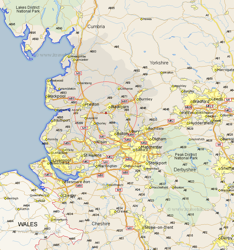
Lancashire Map Showing Location of Meadowbank
Easting: 365906 Northing: 424625
Latitude: 53.72 Longitude: -2.52
 = Meadowbank
Latitude: 53.72 Longitude: -2.52
= Meadowbank
This Meadowbank map below is supplied by Google. Use the tools in the top left corner to zoom into street level or zoom out for a road map, you may also need to zoom in to see Meadowbank on the map. Click and drag the map to move around. If the map fails to load try and refresh your browser or zoom in or out (+ or -).
Update - it seems Google no longer allow people to use their maps for free! This Meadowbank map sometimes loads and sometimes gives a error. I am working on a solution.
Closest 30 Towns or Cities to Meadowbank (Population over 500)
Withnell 2.87km Darwen 3.78km Blackburn 4.3km Hoghton 4.39km Brinscall 4.96km Mellor 5.67km Rishton 7.55km Wilpshire 7.72km Oswaldtwistle 7.89km Samlesbury 8.61km Heapey 8.62km Ribchester 9.33km Church 9.52km Great Harwood 9.9km Chorley 9.92km Langho 10.25km Clayton-le-Moors 10.38km Clayton le Moor 10.38km Clayton le Moors 10.38km Grimsargh 12.02km Turton 12.04km Farington 12.06km Farrington 12.06km Haslingden 12.21km Accrington 12.29km Euxton 12.35km Leyland 12.63km Whalley 12.92km Horwich 13.16km Simonstone 13.23km