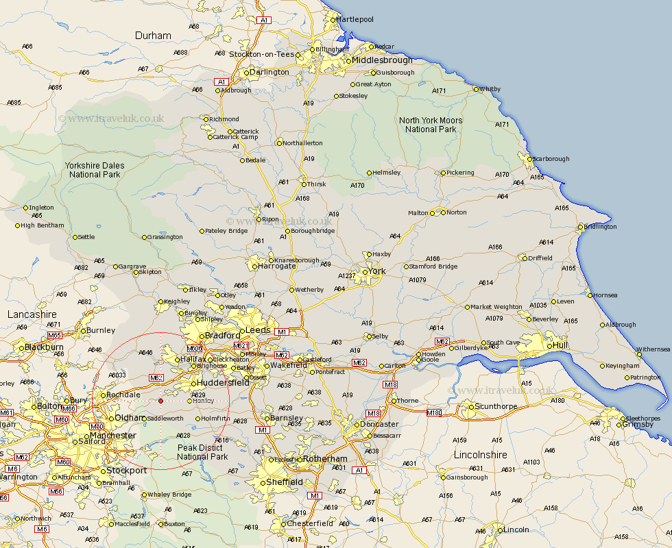
Yorkshire Map Showing Location of Marsden
District: Kirklees
Easting: 405513 Northing: 411522
Latitude: 53.6 Longitude: -1.92
 = Marsden
Easting: 405513 Northing: 411522
Latitude: 53.6 Longitude: -1.92
= Marsden
This Marsden map below is supplied by Google. Use the tools in the top left corner to zoom into street level or zoom out for a road map, you may also need to zoom in to see Marsden on the map. Click and drag the map to move around. If the map fails to load try and refresh your browser or zoom in or out (+ or -).
Update - it seems Google no longer allow people to use their maps for free! This Marsden map sometimes loads and sometimes gives a error. I am working on a solution.
Closest 30 Towns or Cities to Marsden (Population over 500)
Meltham 4.78km Saddleworth 7.09km Honley 7.7km Ripponden 7.74km Holme 7.82km Huddersfield 10.4km Elland 10.77km Holmfirth 11.36km Luddenden Foot 13.02km Shepley 13.33km Mytholmroyd 13.7km Halifax 13.7km Brighouse 14.17km Kirkburton 14.3km Dunford Bridge 14.39km Shelley 15.4km Denby Dale 16.91km Todmorden 17km Mirfield 17.08km Heptonstall 17.93km Hebden Bridge 17.93km Liversedge 18.1km Cleckheaton 18.5km Queensbury 18.54km Emley 18.78km Heckmondwike 19.88km Denholme 20.41km Cornholme 21.35km Middlestown 21.61km Middletown 21.61km