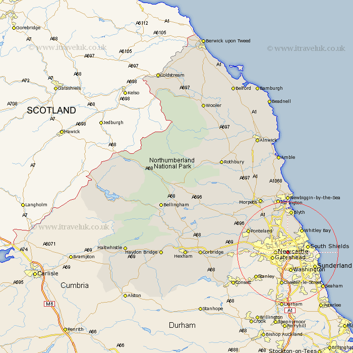
Northumberland Map Showing Location of Low Walker
District: Newcastle upon Tyne
Easting: 429873 Northing: 563671
Latitude: 54.97 Longitude: -1.53
 = Low Walker
Easting: 429873 Northing: 563671
Latitude: 54.97 Longitude: -1.53
= Low Walker
This Low Walker map below is supplied by Google. Use the tools in the top left corner to zoom into street level or zoom out for a road map, you may also need to zoom in to see Low Walker on the map. Click and drag the map to move around. If the map fails to load try and refresh your browser or zoom in or out (+ or -).
Update - it seems Google no longer allow people to use their maps for free! This Low Walker map sometimes loads and sometimes gives a error. I am working on a solution.
Closest 30 Towns or Cities to Low Walker (Population over 500)
Wallsend on Tyne 3.22km Wallsend-on-Tyne 3.22km Wallsend 3.22km Newcastle-on-Tyne 4.25km Newcastle 4.25km Newcastle on Tyne 4.25km Newcastle upon Tyne 4.25km Longbenton 4.27km Long Benton 4.27km North Shields 5.73km Gosforth 6.48km South Shields 7.52km Killingworth 7.71km Shiremoor 7.9km Tynemouth 8.04km Seghill 9.32km Whitley 10.64km Whitley Bay 10.64km Woolsington 11.07km Seaton Delaval 11.17km Cramlington 11.57km Newburn 12.77km Dudley 12.91km Dinnington 13.31km Seaton Sluice 13.7km Ponteland 16.63km Stannington 17.09km Blyth 17.16km Blythe 17.16km Bedlington 18.73km