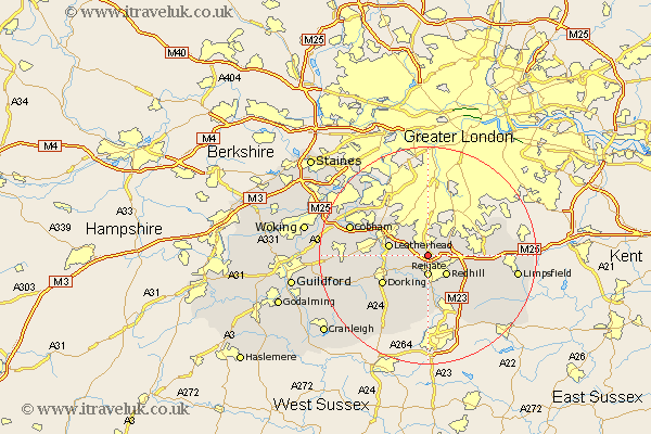
Surrey Map Showing Location of Lower Kingswood
District: Reigate and Banstead
Easting: 524400 Northing: 153516
Latitude: 51.27 Longitude: -0.22
 = Lower Kingswood
Easting: 524400 Northing: 153516
Latitude: 51.27 Longitude: -0.22
= Lower Kingswood
This Lower Kingswood map below is supplied by Google. Use the tools in the top left corner to zoom into street level or zoom out for a road map, you may also need to zoom in to see Lower Kingswood on the map. Click and drag the map to move around. If the map fails to load try and refresh your browser or zoom in or out (+ or -).
Update - it seems Google no longer allow people to use their maps for free! This Lower Kingswood map sometimes loads and sometimes gives a error. I am working on a solution.
Closest 30 Towns or Cities to Lower Kingswood (Population over 500)
Tadworth 2.18km Reigate 3.71km Betchworth 4.38km Buckland 4.38km Redhill 5.09km Banstead 6.56km Leatherhead 7.2km Mickleham 7.2km Leigh 7.51km Salfords 8.19km Nutfield 8.91km Bletchingley 8.93km Caterham 9.28km Dorking 9.84km Whyteleafe 10.81km Oxshott 10.81km Westcott 10.82km Godstone 11.08km Holmwood 11.6km Horley 11.65km Warlingham 12.17km Woldingham 12.89km Effingham 12.89km Charlwood 12.98km Claygate 13.1km Tandridge 13.29km Wotton 13.77km Newdigate 13.78km Farleigh 13.91km Farley 13.91km