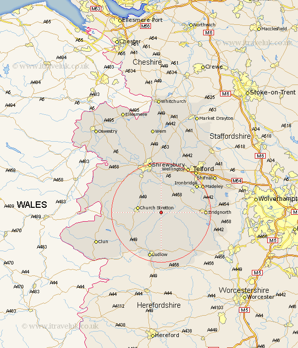
Shropshire Map Showing Location of Longville In The Dale
District: South Shropshire
Easting: 354783 Northing: 293075
Latitude: 52.53 Longitude: -2.67
 = Longville In The Dale
Easting: 354783 Northing: 293075
Latitude: 52.53 Longitude: -2.67
= Longville In The Dale
This Longville In The Dale map below is supplied by Google. Use the tools in the top left corner to zoom into street level or zoom out for a road map, you may also need to zoom in to see Longville In The Dale on the map. Click and drag the map to move around. If the map fails to load try and refresh your browser or zoom in or out (+ or -).
Update - it seems Google no longer allow people to use their maps for free! This Longville In The Dale map sometimes loads and sometimes gives a error. I am working on a solution.
Closest 30 Towns or Cities to Longville In The Dale (Population over 500)
Rushbury 3.85km Ditton Priors 7.71km Diddlebury 8.14km Church Stretton 9.21km Much Wenlock 10.82km Cressage 11.62km Berrington 13.17km Condover 14.14km Wistanstow 14.45km Bitterley 14.87km Barrow 15.42km Barrow Bridge 15.42km Broseley 15.48km Craven Arms 15.84km Baystonhill 15.86km Bridgnorth 16.91km Ironbridge 17.5km Ludlow 19.07km Madeley 19.29km Great Hanwood 19.51km Hanwood 19.51km Pontesbury 19.56km Wrockwardine 19.73km Dawley 20.06km Worfield 20.37km Caynham 20.38km Lydbury North 20.56km North Lydbury 20.56km Cleobury Mortimer 20.8km Shrewsbury 20.88km