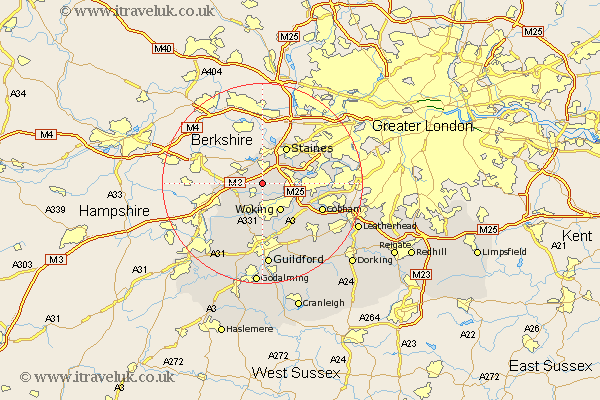
Surrey Map Showing Location of Longcross
District: Surrey Heath
Easting: 498609 Northing: 164078
Latitude: 51.37 Longitude: -0.58
 = Longcross
Easting: 498609 Northing: 164078
Latitude: 51.37 Longitude: -0.58
= Longcross
This Longcross map below is supplied by Google. Use the tools in the top left corner to zoom into street level or zoom out for a road map, you may also need to zoom in to see Longcross on the map. Click and drag the map to move around. If the map fails to load try and refresh your browser or zoom in or out (+ or -).
Update - it seems Google no longer allow people to use their maps for free! This Longcross map sometimes loads and sometimes gives a error. I am working on a solution.
Closest 30 Towns or Cities to Longcross (Population over 500)
Virginia Water 3.88km Chobham 3.89km Ottershaw 3.94km Windlesham 4.63km Bisley 5.08km Egham 5.68km Chertsey 6.07km Woking 6.56km Bagshot 6.94km Addlestone 6.94km Weybridge 8.1km Staines 8.73km Byfleet 8.91km Worplesdon 9.35km Shepperton 9.44km Pirbright 9.9km Send 9.9km Walton 10.57km Walton upon Thames 10.57km Camberley 10.58km Camberly 10.58km Ripley 11.59km Deepcut 11.87km Frimley 12.79km Church Cobham 12.84km Cobham 12.84km Lower Sunbury 13.25km Sunbury-on-Thames 13.25km Sunbury 13.25km Sunbury on Thames 13.25km