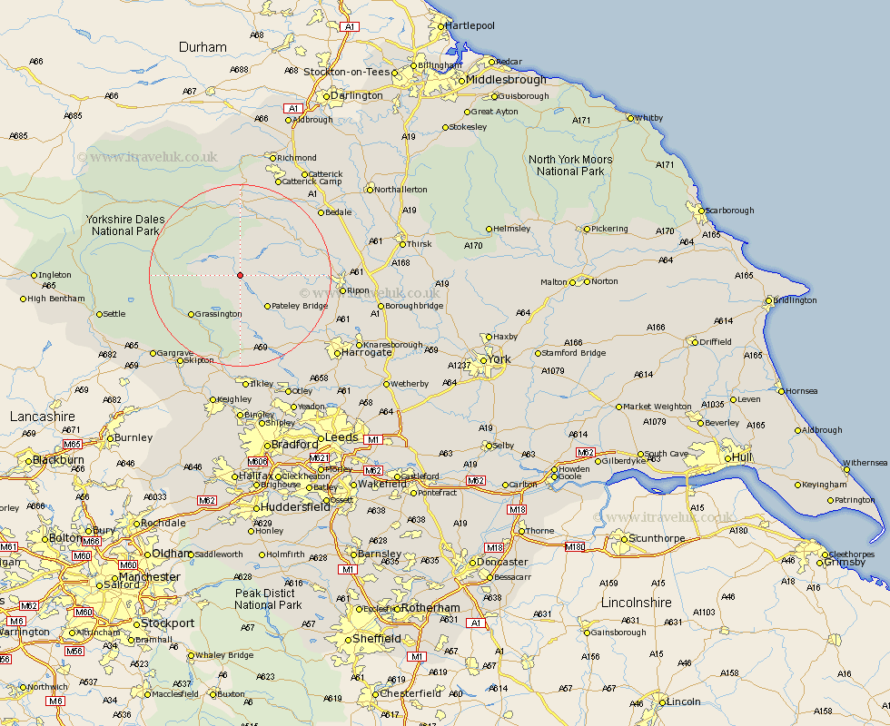
Yorkshire Map Showing Location of Lofthouse In Nidderdale
District: Harrogate
Easting: 410884 Northing: 472718
Latitude: 54.15 Longitude: -1.83
 = Lofthouse In Nidderdale
Easting: 410884 Northing: 472718
Latitude: 54.15 Longitude: -1.83
= Lofthouse In Nidderdale
This Lofthouse In Nidderdale map below is supplied by Google. Use the tools in the top left corner to zoom into street level or zoom out for a road map, you may also need to zoom in to see Lofthouse In Nidderdale on the map. Click and drag the map to move around. If the map fails to load try and refresh your browser or zoom in or out (+ or -).
Update - it seems Google no longer allow people to use their maps for free! This Lofthouse In Nidderdale map sometimes loads and sometimes gives a error. I am working on a solution.
Closest 30 Towns or Cities to Lofthouse In Nidderdale (Population over 500)
Bewerley 8.6km Bradley 11.41km Kirkby Malzeard 12.08km Grewelthorpe 12.5km Grassington 13.47km Dacre 13.47km Masham 14.05km Middleham 14.86km Darley 15.62km Threshfield 16.33km Leyburn 16.71km Tanfield 18.22km West Tanfield 18.22km Birstwith 19.18km Ripon 20.96km Hampsthwaite 21.25km Crakehall 21.83km Bedale 22km Embsay 22.61km Bishop Monkton 22.96km Monkton 22.96km Burton Leonard 23.62km Skipton 23.63km Killinghall 23.69km Addingham 24.32km Gargrave 25.42km Ilkley 25.96km Burley in Wharfedale 26.51km Burley 26.51km Harrogate 26.96km