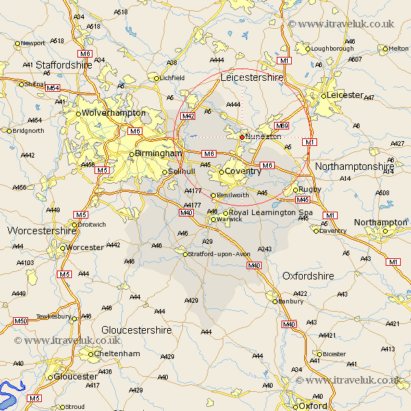
Warwickshire Map Showing Location of Nuneaton
Population: 65881
Area Size (ha): 1531
District: Nuneaton and Bedworth
Easting: 436186 Northing: 291153
Latitude: 52.52 Longitude: -1.47
 = Nuneaton
Area Size (ha): 1531
District: Nuneaton and Bedworth
Easting: 436186 Northing: 291153
Latitude: 52.52 Longitude: -1.47
= Nuneaton
This Nuneaton map below is supplied by Google. Use the tools in the top left corner to zoom into street level or zoom out for a road map, you may also need to zoom in to see Nuneaton on the map. Click and drag the map to move around. If the map fails to load try and refresh your browser or zoom in or out (+ or -).
Update - it seems Google no longer allow people to use their maps for free! This Nuneaton map sometimes loads and sometimes gives a error. I am working on a solution.
Closest 30 Towns or Cities to Nuneaton (Population over 500)
Bedworth 5.56km Mancetter 6.51km Bulkington 6.51km Wolvey 7.72km Atherstone 7.92km Arley 8.11km Shilton 8.68km Corley 9.32km Fillongley 9.66km Keresley 10.31km Shustoke 11.43km Grendon 11.47km Hurley 11.86km Orton-on-the-Hill 12km Orton 12km Orton on the Hill 12km Coventry 12.47km Allesley 12.47km Nether Whitacre 12.54km Dordon 12.73km Polesworth 12.92km Meriden 13.76km Kingsbury 15.11km Brinklow 15.19km Coleshill 15.9km Austrey 16.29km Shuttington 16.46km Baginton 16.72km Newton 16.79km Newton Regis 16.79km