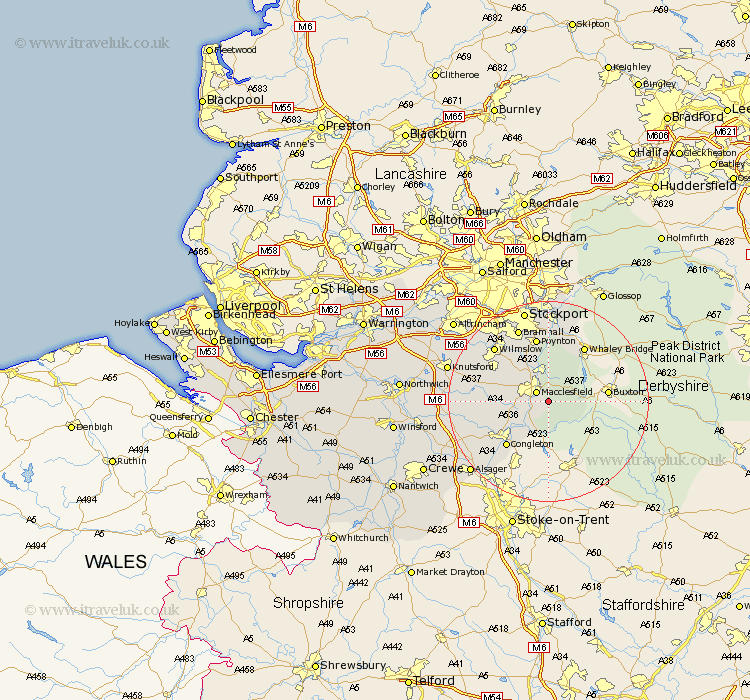
Cheshire Map Showing Location of Langley
District: Macclesfield
Easting: 394438 Northing: 370730
Latitude: 53.23 Longitude: -2.08
 = Langley
Easting: 394438 Northing: 370730
Latitude: 53.23 Longitude: -2.08
= Langley
This Langley map below is supplied by Google. Use the tools in the top left corner to zoom into street level or zoom out for a road map, you may also need to zoom in to see Langley on the map. Click and drag the map to move around. If the map fails to load try and refresh your browser or zoom in or out (+ or -).
Update - it seems Google no longer allow people to use their maps for free! This Langley map sometimes loads and sometimes gives a error. I am working on a solution.
Closest 30 Towns or Cities to Langley (Population over 500)
Macclesfield 2.89km Rainow 5.67km Gawsworth 5.85km Prestburg 7.11km Prestbury 7.11km Bollington 7.42km Adlington 9.85km Nether Alderley 11.42km Alderley 11.42km Congleton 12.09km Alderley Edge 12.43km Chelford 12.75km Poynton 13.16km Disley 14.87km Wilmslow 14.94km Bramhall 15.83km Goostrey 16.64km Hazel Grove 16.83km Peover 17.84km Peover Superior 17.84km Mobberley 18.08km Brereton 18.22km Brereton cum Smethwick 18.22km Marple 18.57km Rode Heath 18.6km Stockport 19.06km Holmes Chapel 19.23km Knutsford 20.25km Romiley 20.39km Bredbury 20.51km