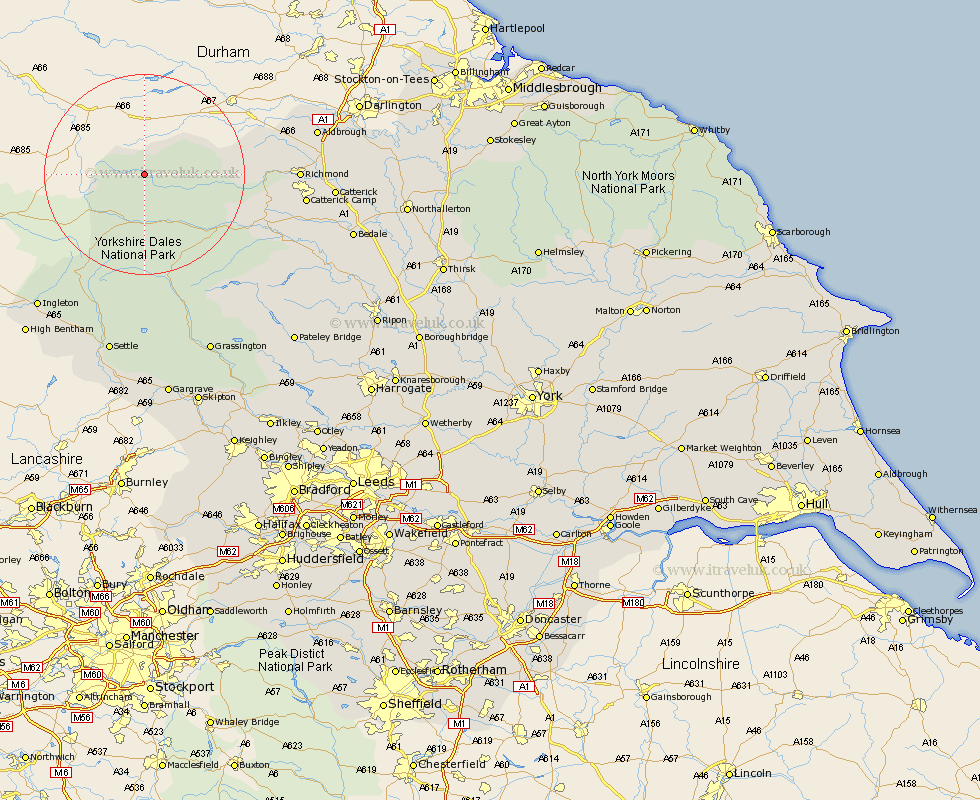
Yorkshire Map Showing Location of Keld
District: Richmondshire
Easting: 389180 Northing: 500532
Latitude: 54.4 Longitude: -2.17
 = Keld
Easting: 389180 Northing: 500532
Latitude: 54.4 Longitude: -2.17
= Keld
This Keld map below is supplied by Google. Use the tools in the top left corner to zoom into street level or zoom out for a road map, you may also need to zoom in to see Keld on the map. Click and drag the map to move around. If the map fails to load try and refresh your browser or zoom in or out (+ or -).
Update - it seems Google no longer allow people to use their maps for free! This Keld map sometimes loads and sometimes gives a error. I am working on a solution.
Closest 30 Towns or Cities to Keld (Population over 500)
Hawes 11.33km Bradley 24.16km Leyburn 25.26km Middleham 26.14km Richmond 28.05km Gilling 29.35km Melsonby 32.6km Middleton Tyas 33.88km Ingleton 33.94km Barton 34.23km Catterick 34.73km Clapham 36.21km Scorton 36.73km Crakehall 37.34km Settle 37.63km Burton in Lonsdale 38.03km Grassington 38.93km Masham 39.23km Giggleswick 39.46km Bentham 39.77km High Bentham 39.77km North Cowton 39.92km Bedale 39.98km Threshfield 40.12km Cowton 41.03km East Cowton 41.03km Grewelthorpe 41.29km Kirkby Malzeard 42.4km Bewerley 43.77km Long Preston 44.81km