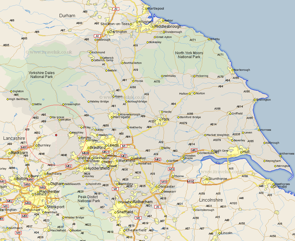
Yorkshire Map Showing Location of Ickornshaw
District: Craven
Easting: 396712 Northing: 441189
Latitude: 53.87 Longitude: -2.05
 = Ickornshaw
Easting: 396712 Northing: 441189
Latitude: 53.87 Longitude: -2.05
= Ickornshaw
This Ickornshaw map below is supplied by Google. Use the tools in the top left corner to zoom into street level or zoom out for a road map, you may also need to zoom in to see Ickornshaw on the map. Click and drag the map to move around. If the map fails to load try and refresh your browser or zoom in or out (+ or -).
Update - it seems Google no longer allow people to use their maps for free! This Ickornshaw map sometimes loads and sometimes gives a error. I am working on a solution.
Closest 30 Towns or Cities to Ickornshaw (Population over 500)
Sutton-in-Craven 4.74km Glusburn 4.94km Cononley 5.97km Steeton 6.81km Earby 7.07km Carleton 7.41km Carlton 7.41km Silsden 8.5km Haworth 8.6km Keighley 8.93km Oxenhope 9.9km Cullingworth 11.3km Skipton 11.33km Embsay 11.95km Hebden Bridge 13.16km Heptonstall 13.16km Addingham 13.19km Wilsden 13.25km Gargrave 13.37km Denholme 13.52km Queensbury 14.15km Bingley 14.33km Cornholme 16.22km Ilkley 16.27km Todmorden 16.82km Hellifield 16.95km Mytholmroyd 17.24km Luddenden Foot 18.36km Baildon 18.67km Shipley 18.95km