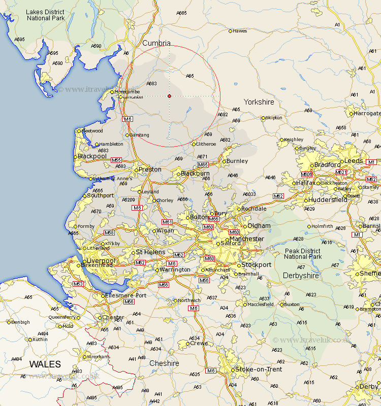
Lancashire Map Showing Location of Thrushgill
District: Lancaster
Easting: 365085 Northing: 461711
Latitude: 54.05 Longitude: -2.53
 = Thrushgill
Easting: 365085 Northing: 461711
Latitude: 54.05 Longitude: -2.53
= Thrushgill
This Thrushgill map below is supplied by Google. Use the tools in the top left corner to zoom into street level or zoom out for a road map, you may also need to zoom in to see Thrushgill on the map. Click and drag the map to move around. If the map fails to load try and refresh your browser or zoom in or out (+ or -).
Update - it seems Google no longer allow people to use their maps for free! This Thrushgill map sometimes loads and sometimes gives a error. I am working on a solution.
Closest 30 Towns or Cities to Thrushgill (Population over 500)
Caton 12.11km Over Kellet 15.01km Nether Kellet 15.19km Bolton le Sands 16.73km Carnforth 16.93km Lancaster 17.63km Warton 17.81km Chipping 18.82km Forton 19.76km Grindleton 19.92km Waddington 20.04km Morecambe 20.75km Morecombe 20.75km Overton 21.42km Cockerham 21.6km Gisburn 21.73km Chatburn 22.08km Clitheroe 22.17km Silverdale 22.57km Garstang 22.61km Middleton 23.53km Claughton on Brock 23.65km Claughton-on-Brock 23.65km Claughton 23.65km Longridge 24.32km Catterall 25.46km Whalley 27.04km Barnoldswick 27.27km Goosnargh 27.37km Ribchester 27.8km