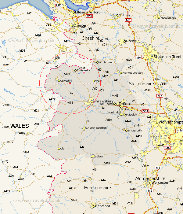
Shropshire Map Showing Location of Haughton
District: Oswestry
Easting: 337129 Northing: 326642
Latitude: 52.83 Longitude: -2.93
 = Haughton
Easting: 337129 Northing: 326642
Latitude: 52.83 Longitude: -2.93
= Haughton
This Haughton map below is supplied by Google. Use the tools in the top left corner to zoom into street level or zoom out for a road map, you may also need to zoom in to see Haughton on the map. Click and drag the map to move around. If the map fails to load try and refresh your browser or zoom in or out (+ or -).
Update - it seems Google no longer allow people to use their maps for free! This Haughton map sometimes loads and sometimes gives a error. I am working on a solution.
Closest 30 Towns or Cities to Haughton (Population over 500)
West Felton 3.83km Whittington 5.82km Cockshutt 5.9km Cockshut 5.9km Kinnerley 6.5km Oswestry 6.97km Baschurch 7.14km Great Ness 7.74km St. Martins 7.86km St Martins 7.86km Saint Martins 7.86km Gobowen 8.72km Welshampton 9.29km Ellesmere 9.86km Pant 10.55km Loppington 10.74km Selattyn 12.51km Alberbury 13.01km Bicton 13.61km Ford 14.13km Llanyblodwel 14.55km Wem 14.67km Whixall 16.32km Hadnall 16.34km Westbury 16.72km Great Hanwood 18.43km Hanwood 18.43km Shrewsbury 18.68km Prees 18.75km Precs 18.75km