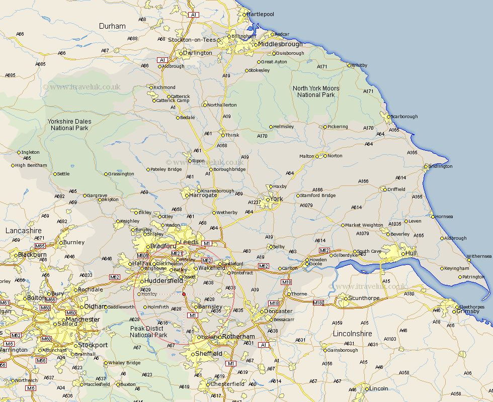
Yorkshire Map Showing Location of Haigh
District: Barnsley
Easting: 429776 Northing: 411613
Latitude: 53.6 Longitude: -1.55
 = Haigh
Easting: 429776 Northing: 411613
Latitude: 53.6 Longitude: -1.55
= Haigh
This Haigh map below is supplied by Google. Use the tools in the top left corner to zoom into street level or zoom out for a road map, you may also need to zoom in to see Haigh on the map. Click and drag the map to move around. If the map fails to load try and refresh your browser or zoom in or out (+ or -).
Update - it seems Google no longer allow people to use their maps for free! This Haigh map sometimes loads and sometimes gives a error. I am working on a solution.
Closest 30 Towns or Cities to Haigh (Population over 500)
Darton 2.16km West Bretton 2.16km Bretton 2.16km Woolley 2.2km Crigglestone 3.86km Cawthorne 4.31km Notton 4.4km Emley 5.8km Middletown 6.46km Middlestown 6.46km Royston 6.6km Barnsley 7.09km Horbury 7.42km Ossett 7.5km Silkstone 7.5km Dodworth 7.5km Ryhill 7.92km Denby Dale 8.55km Shelley 8.8km Shafton 8.99km Cudworth 9.55km Kirkburton 9.9km Worsborough 10.26km Worsbrough 10.26km Penistone 10.26km Crofton 10.4km Shepley 11.16km Batley 11.42km Mirfield 11.5km Fitzwilliam 11.6km