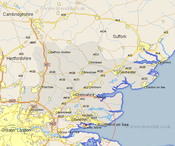
Essex Map Showing Location of Hadleigh
District: Castle Point
Easting: 580310 Northing: 184856
Latitude: 51.53 Longitude: 0.6
 = Hadleigh
Easting: 580310 Northing: 184856
Latitude: 51.53 Longitude: 0.6
= Hadleigh
This Hadleigh map below is supplied by Google. Use the tools in the top left corner to zoom into street level or zoom out for a road map, you may also need to zoom in to see Hadleigh on the map. Click and drag the map to move around. If the map fails to load try and refresh your browser or zoom in or out (+ or -).
Update - it seems Google no longer allow people to use their maps for free! This Hadleigh map sometimes loads and sometimes gives a error. I am working on a solution.
Closest 30 Towns or Cities to Hadleigh (Population over 500)
Canvey Island 1.15km Benfleet 3.46km South Benfleet 3.46km Leigh on Sea 4.97km Leigh-on-Sea 4.97km Leigh 4.97km Rayleigh 5.68km Hockley 6.55km Southend-on-Sea 6.92km Southend 6.92km Southend on Sea 6.92km Hawkwell 7.22km Rawreth 7.77km Wickford 9.39km Rochford 9.8km Basildon 9.94km Corringham 10.44km South Hanningfield 12.52km North Fambridge 12.52km Fambridge 12.52km Canewelon 12.75km Canewdon 12.75km Little Wakering 12.81km Woodham Ferrers 12.98km Barling 13.21km Stanford le Hope 13.21km Rettendon 13.43km Great Wakering 13.83km Great Burstead 13.84km Ramsden Heath 13.91km