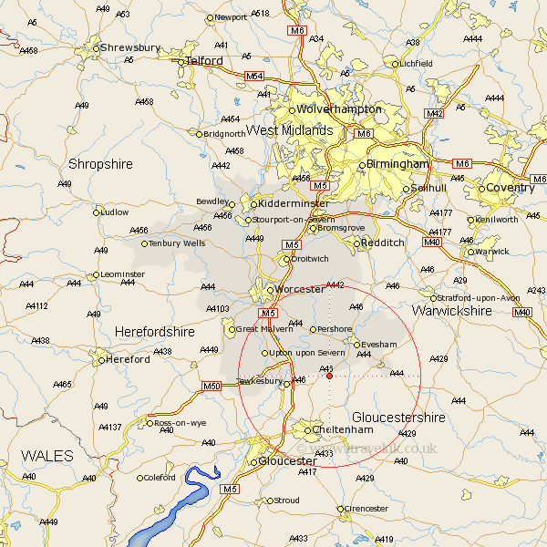
Worcestershire Map Showing Location of Washbourne
District: Wychavon
Easting: 398856 Northing: 235411
Latitude: 52.02 Longitude: -2.02
 = Washbourne
Easting: 398856 Northing: 235411
Latitude: 52.02 Longitude: -2.02
= Washbourne
This Washbourne map below is supplied by Google. Use the tools in the top left corner to zoom into street level or zoom out for a road map, you may also need to zoom in to see Washbourne on the map. Click and drag the map to move around. If the map fails to load try and refresh your browser or zoom in or out (+ or -).
Update - it seems Google no longer allow people to use their maps for free! This Washbourne map sometimes loads and sometimes gives a error. I am working on a solution.
Closest 30 Towns or Cities to Washbourne (Population over 500)
Beckford 1.14km Ashton under Hill 2.17km Ashton-under-Hill 2.17km Sedgeberrow 3.89km Bredon 7.09km Cropthorne 7.5km Eckington 8.81km Evesham 9.34km Charlton 9.54km Defford 10.08km Fladbury 11.12km Offenham 11.51km Broadway 11.55km Ripple 11.55km Pershore 11.63km Badsey 11.75km Littleton 13km South Littleton 13km Wadborough 14.38km Cow Honeybourne 14.56km Honeybourne 14.56km Harvington 14.66km Upton on Severn 14.77km Upton-on-Severn 14.77km Upton upon Severn 14.77km Upton 14.77km Church Lench 15.51km Peopleton 15.88km Severn Stoke 16.52km Seven Stoke 16.52km