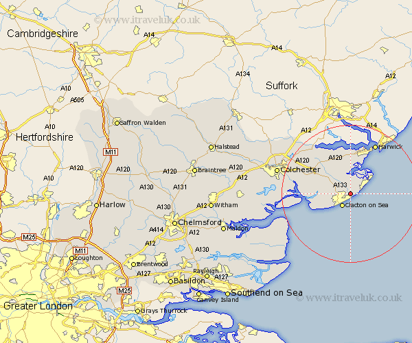
Essex Map Showing Location of Great Holland
District: Tendring
Easting: 620529 Northing: 218011
Latitude: 51.82 Longitude: 1.2
 = Great Holland
Easting: 620529 Northing: 218011
Latitude: 51.82 Longitude: 1.2
= Great Holland
This Great Holland map below is supplied by Google. Use the tools in the top left corner to zoom into street level or zoom out for a road map, you may also need to zoom in to see Great Holland on the map. Click and drag the map to move around. If the map fails to load try and refresh your browser or zoom in or out (+ or -).
Update - it seems Google no longer allow people to use their maps for free! This Great Holland map sometimes loads and sometimes gives a error. I am working on a solution.
Closest 30 Towns or Cities to Great Holland (Population over 500)
Frinton 3.9km Frinton on Sea 3.9km Frinton-on-Sea 3.9km Thorpe le Soken 4.35km Clacton-on-Sea 4.36km Clacton on Sea 4.36km Clacton 4.36km Little Clacton 4.58km Weeley 6.82km Walton-on-the-Naze 6.82km Walton on the Naze 6.82km St Osyth 8.23km Saint Osyth 8.23km St. Osyth 8.23km Great Oakley 9.26km Wix 9.88km Great Bentley 9.88km Little Oakley 11.35km Brightlingsea 11.61km Thorrington 12.04km Parkeston 13.41km Great Bromley 13.63km Bradfield 14.17km Mistley 15.24km Alresford 15.34km Harwich 16.33km Harwick 16.33km Winehoe 16.45km Wivenhoe 16.45km Wyvenhoe 16.45km