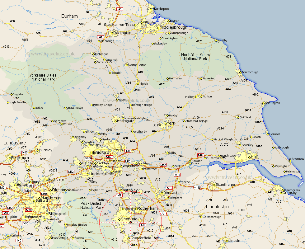
Yorkshire Map Showing Location of Frecheville
District: Sheffield
Easting: 439935 Northing: 383876
Latitude: 53.35 Longitude: -1.4
 = Frecheville
Easting: 439935 Northing: 383876
Latitude: 53.35 Longitude: -1.4
= Frecheville
This Frecheville map below is supplied by Google. Use the tools in the top left corner to zoom into street level or zoom out for a road map, you may also need to zoom in to see Frecheville on the map. Click and drag the map to move around. If the map fails to load try and refresh your browser or zoom in or out (+ or -).
Update - it seems Google no longer allow people to use their maps for free! This Frecheville map sometimes loads and sometimes gives a error. I am working on a solution.
Closest 30 Towns or Cities to Frecheville (Population over 500)
Orgreave 4.31km Beighton 4.8km Treeton 4.97km Aston 6.64km Sheffield 6.89km Whiston 7.1km Wales 7.96km Brampton en le Morthern 9.59km Brampton 9.59km Brampton en le Morthen 9.59km Harthill 9.6km Rotherham 9.84km Rotherdam 9.84km Todwick 9.96km Ecclesfield 10.26km Wickersley 10.72km Bramley 11.54km Rawmarsh 11.97km Thorpe Salvin 12.72km Thrybergh 12.95km Wentworth 13.02km Anston 13.2km Dinnington 13.4km Oughtibridge 13.59km Wharncliffe 13.59km Wharncliffe Side 13.59km Bradfield 15.2km Maltby 15.2km Tankersley 15.47km Woodsetts 15.49km