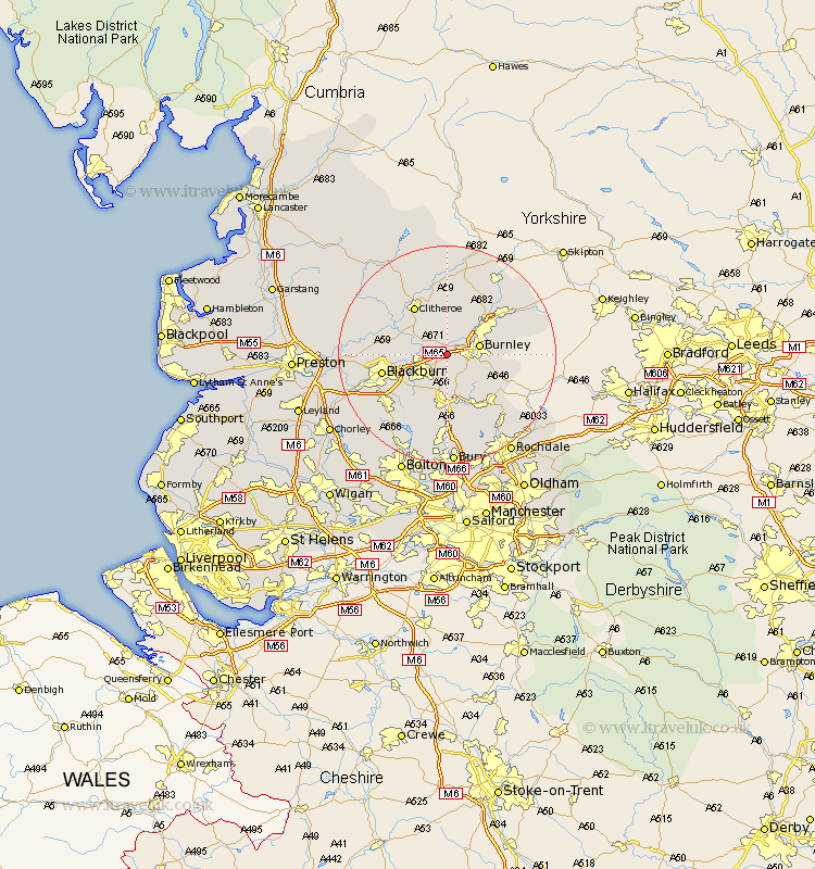
Lancashire Map Showing Location of Padiham
Population: 12240
Area Size (ha): 316
District: Burnley
Easting: 379136 Northing: 431956
Latitude: 53.78 Longitude: -2.32
 = Padiham
Area Size (ha): 316
District: Burnley
Easting: 379136 Northing: 431956
Latitude: 53.78 Longitude: -2.32
= Padiham
This Padiham map below is supplied by Google. Use the tools in the top left corner to zoom into street level or zoom out for a road map, you may also need to zoom in to see Padiham on the map. Click and drag the map to move around. If the map fails to load try and refresh your browser or zoom in or out (+ or -).
Update - it seems Google no longer allow people to use their maps for free! This Padiham map sometimes loads and sometimes gives a error. I am working on a solution.
Closest 30 Towns or Cities to Padiham (Population over 500)
Altham 1.09km Simonstone 2.19km Accrington 2.86km Sabden 3.87km Clayton le Moors 4.75km Clayton le Moor 4.75km Clayton-le-Moors 4.75km Church 5.74km Burnley 5.78km Great Harwood 6.57km Brierfield 6.61km Rishton 7.54km Whalley 7.54km Oswaldtwistle 7.8km Langho 8.95km Haslingden 9.33km Nelson 9.47km Rawtenstall 9.52km Barrowford 9.9km Clitheroe 10.77km Wilpshire 10.95km Chatburn 11.33km Blackburn 11.56km Colne 12.33km Bacup 12.76km Waddington 12.91km Edenfield 13.01km Grindleton 13.39km Foulridge 13.53km Darwen 13.53km