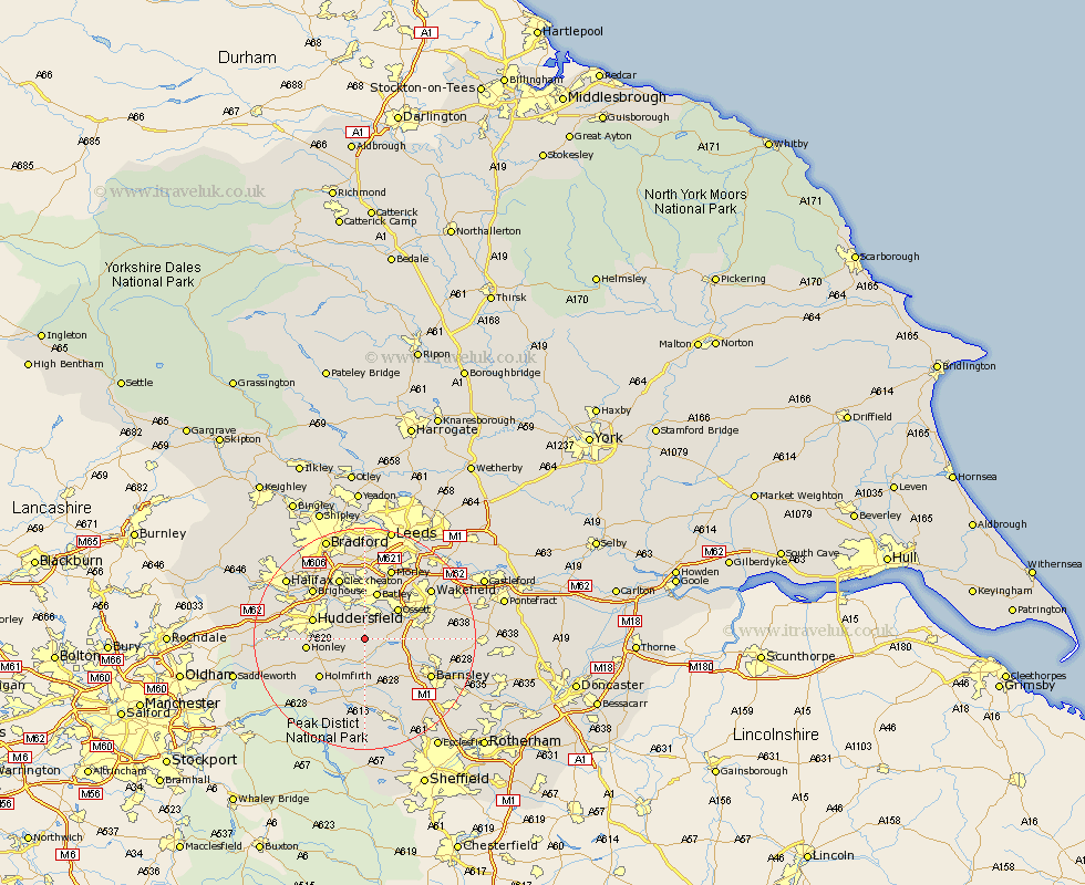
Yorkshire Map Showing Location of Flockton
District: Kirklees
Easting: 423150 Northing: 413433
Latitude: 53.62 Longitude: -1.65
 = Flockton
Easting: 423150 Northing: 413433
Latitude: 53.62 Longitude: -1.65
= Flockton
This Flockton map below is supplied by Google. Use the tools in the top left corner to zoom into street level or zoom out for a road map, you may also need to zoom in to see Flockton on the map. Click and drag the map to move around. If the map fails to load try and refresh your browser or zoom in or out (+ or -).
Update - it seems Google no longer allow people to use their maps for free! This Flockton map sometimes loads and sometimes gives a error. I am working on a solution.
Closest 30 Towns or Cities to Flockton (Population over 500)
Emley 1.1km Shelley 2.88km Kirkburton 3.79km Middletown 4.96km Middlestown 4.96km West Bretton 5.5km Bretton 5.5km Denby Dale 5.67km Shepley 5.76km Mirfield 5.98km Cawthorne 7.09km Ossett 7.82km Crigglestone 7.91km Darton 8.55km Horbury 8.62km Batley 8.76km Woolley 8.99km Heckmondwike 9.33km Drewsbury 9.52km Dewsbury 9.52km Huddersfield 9.54km Liversedge 9.83km Honley 10.07km Holmfirth 10.69km Silkstone 10.78km Notton 11.15km Penistone 11.34km Cleckheaton 11.96km Dodworth 12.06km Brighouse 12.77km