Lancashire Map Showing Location of Feniscowles
Easting: 364807 Northing: 424633
Latitude: 53.72 Longitude: -2.53
 = Feniscowles
Latitude: 53.72 Longitude: -2.53
= Feniscowles
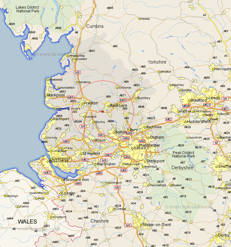
This Feniscowles map below is supplied by Google. Use the tools in the top left corner to zoom into street level or zoom out for a road map, you may also need to zoom in to see Feniscowles on the map. Click and drag the map to move around. If the map fails to load try and refresh your browser or zoom in or out (+ or -).
Update - it seems Google no longer allow people to use their maps for free! This Feniscowles map sometimes loads and sometimes gives a error. I am working on a solution.
Closest 30 Towns or Cities to Feniscowles (Population over 500)
Withnell 2.16km Hoghton 3.29km Brinscall 4.31km Darwen 4.76km Blackburn 4.95km Mellor 5.56km Samlesbury 7.81km Heapey 7.81km Wilpshire 8.1km Rishton 8.52km Oswaldtwistle 8.96km Chorley 9.23km Ribchester 9.26km Church 10.54km Great Harwood 10.66km Langho 10.76km Farington 10.97km Farrington 10.97km Clayton le Moors 11.32km Clayton le Moor 11.32km Clayton-le-Moors 11.32km Grimsargh 11.36km Euxton 11.5km Leyland 11.58km Turton 12.77km Horwich 13.02km Accrington 13.28km Preston 13.28km Haslingden 13.29km Longridge 13.38km