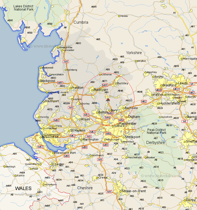
Lancashire Map Showing Location of Ewood Bridge
District: Rossendale
Easting: 379087 Northing: 420832
Latitude: 53.68 Longitude: -2.32
 = Ewood Bridge
Easting: 379087 Northing: 420832
Latitude: 53.68 Longitude: -2.32
= Ewood Bridge
This Ewood Bridge map below is supplied by Google. Use the tools in the top left corner to zoom into street level or zoom out for a road map, you may also need to zoom in to see Ewood Bridge on the map. Click and drag the map to move around. If the map fails to load try and refresh your browser or zoom in or out (+ or -).
Update - it seems Google no longer allow people to use their maps for free! This Ewood Bridge map sometimes loads and sometimes gives a error. I am working on a solution.
Closest 30 Towns or Cities to Ewood Bridge (Population over 500)
Edenfield 2.15km Haslingden 2.16km Rawtenstall 2.87km Ramsbottom 5.56km Oswaldtwistle 7.81km Turton 7.82km Church 8.62km Bacup 8.97km Tottington 9.33km Bury 9.33km Accrington 9.53km Whitworth 9.53km Rishton 9.92km Darwen 10.05km Clayton le Moors 10.26km Clayton le Moor 10.26km Clayton-le-Moors 10.26km Bradshaw 10.77km Bromley Cross 10.77km Padiham 11.12km Hapton 11.12km Altham 11.18km Simonstone 11.33km Wardle 12.63km Great Harwood 12.92km Heywood 12.92km Blackburn 13.24km Rochdale 13.25km Bolton 13.52km Burnley 14.09km