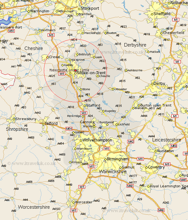
Staffordshire Map Showing Location of Etruria
Easting: 387702 Northing: 346649
Latitude: 53.02 Longitude: -2.18
 = Etruria
Latitude: 53.02 Longitude: -2.18
= Etruria
This Etruria map below is supplied by Google. Use the tools in the top left corner to zoom into street level or zoom out for a road map, you may also need to zoom in to see Etruria on the map. Click and drag the map to move around. If the map fails to load try and refresh your browser or zoom in or out (+ or -).
Update - it seems Google no longer allow people to use their maps for free! This Etruria map sometimes loads and sometimes gives a error. I am working on a solution.
Closest 30 Towns or Cities to Etruria (Population over 500)
Stoke upon Trent 1.86km Stoke 1.86km Stoke-on-Trent 1.86km Stoke on Trent 1.86km Stoke-upon-Trent 1.86km Newcastle under Lyme 3.83km Newcastle-under-Lyme 3.83km Silverdale 6.69km Keele 6.94km Barlaston 7.5km Kidsgrove 8.12km Audley 8.64km Endon 8.64km Caverswall 8.65km Whitmore 8.7km Madeley 10.21km Cheddleton 10.69km Fulford 10.77km Biddulph 11.18km Swinnerton 11.34km Swynnerton 11.34km Draycott in the Moors 11.48km Draycott 11.48km Betley 12.4km Horton 12.97km Hilderstone 12.98km Standon 12.98km Kingsley 13.38km Stone 13.4km Cheadle 13.89km