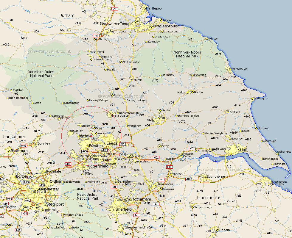
Yorkshire Map Showing Location of Esholt
District: Bradford
Easting: 418637 Northing: 439367
Latitude: 53.85 Longitude: -1.72
 = Esholt
Easting: 418637 Northing: 439367
Latitude: 53.85 Longitude: -1.72
= Esholt
This Esholt map below is supplied by Google. Use the tools in the top left corner to zoom into street level or zoom out for a road map, you may also need to zoom in to see Esholt on the map. Click and drag the map to move around. If the map fails to load try and refresh your browser or zoom in or out (+ or -).
Update - it seems Google no longer allow people to use their maps for free! This Esholt map sometimes loads and sometimes gives a error. I am working on a solution.
Closest 30 Towns or Cities to Esholt (Population over 500)
Guiseley 1.86km Baildon 3.28km Yeadon 3.77km Shipley 3.77km Menston 3.86km Horsforth 5.77km Otley 5.97km Bramhope 7.53km Bingley 7.65km Burley 7.73km Burley in Wharfedale 7.73km Bradford 7.73km Pudsey 8.11km Poole 8.59km Pool 8.59km Pool-in-Wharfedale 8.59km Arthington 9.46km Arthington Junction Station 9.46km Ilkley 9.9km Leeds 10.37km Wilsden 10.52km Weeton 12.31km Cullingworth 12.59km Keighley 13.63km Denholme 14.14km Addingham 14.32km Cleckheaton 14.82km Harewood 15.25km Silsden 15.25km Morley 15.66km