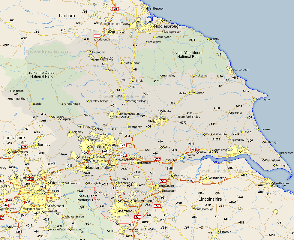
Yorkshire Map Showing Location of Elsecar
District: Rotherham
Easting: 438705 Northing: 398695
Latitude: 53.48 Longitude: -1.42
 = Elsecar
Easting: 438705 Northing: 398695
Latitude: 53.48 Longitude: -1.42
= Elsecar
This Elsecar map below is supplied by Google. Use the tools in the top left corner to zoom into street level or zoom out for a road map, you may also need to zoom in to see Elsecar on the map. Click and drag the map to move around. If the map fails to load try and refresh your browser or zoom in or out (+ or -).
Update - it seems Google no longer allow people to use their maps for free! This Elsecar map sometimes loads and sometimes gives a error. I am working on a solution.
Closest 30 Towns or Cities to Elsecar (Population over 500)
Wentworth 1.85km Hoyland Nether 2.88km Hoyland 2.88km Tankersley 3.31km Wombwell 3.87km Wath 4.78km Wath on Dearne 4.78km Wath upon Dearne 4.78km Wath-on-Dearne 4.78km Birdwell 4.79km Worsborough 5.76km Worsbrough 5.76km Darsfield 5.98km Darfield 5.98km Ecclesfield 6.47km Swinton 6.62km Rawmarsh 6.64km Rotherdam 7.1km Rotherham 7.1km Wortley 7.72km Little Houghton 8.12km Thrybergh 8.56km Barnsley 8.63km Great Houghton 8.63km Houghton 8.63km Cudworth 9.27km Dearne 9.51km Dodworth 9.51km Mexborough 9.92km Wharncliffe Side 10.43km