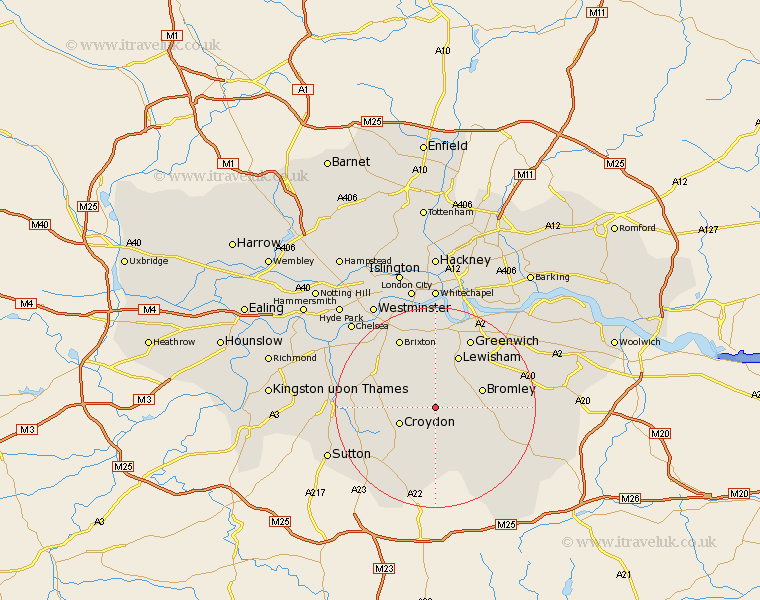
Greater London Map Showing Location of Elmers End
District: Bromley
Easting: 535632 Northing: 168633
Latitude: 51.4 Longitude: -0.05
 = Elmers End
Easting: 535632 Northing: 168633
Latitude: 51.4 Longitude: -0.05
= Elmers End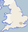
This Elmers End map below is supplied by Google. Use the tools in the top left corner to zoom into street level or zoom out for a road map, you may also need to zoom in to see Elmers End on the map. Click and drag the map to move around. If the map fails to load try and refresh your browser or zoom in or out (+ or -).
Update - it seems Google no longer allow people to use their maps for free! This Elmers End map sometimes loads and sometimes gives a error. I am working on a solution.