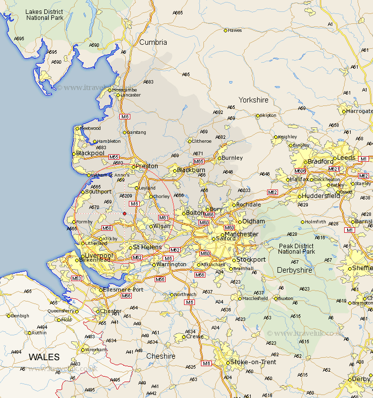
Lancashire Map Showing Location of Parbold
Population: 2775
Area Size (ha): 82
District: West Lancashire
Easting: 349249 Northing: 409934
Latitude: 53.58 Longitude: -2.77
 = Parbold
Area Size (ha): 82
District: West Lancashire
Easting: 349249 Northing: 409934
Latitude: 53.58 Longitude: -2.77
= Parbold
This Parbold map below is supplied by Google. Use the tools in the top left corner to zoom into street level or zoom out for a road map, you may also need to zoom in to see Parbold on the map. Click and drag the map to move around. If the map fails to load try and refresh your browser or zoom in or out (+ or -).
Update - it seems Google no longer allow people to use their maps for free! This Parbold map sometimes loads and sometimes gives a error. I am working on a solution.
Closest 30 Towns or Cities to Parbold (Population over 500)
Mawdesley 3.71km Lathom 3.78km Appley Bridge 3.78km Burscough 4.4km Rufford 5.76km Shevington 5.8km Skelmersdale 5.98km Eccleston 6.46km Standish 6.6km Croston 7.42km Rainford 7.73km Penrith 7.74km Coppull 8.55km Bickerstaffe 8.62km Ormskirk 8.99km Bretherton 9.53km Euxton 9.93km Billinge 10.26km Tarleton 10.26km Scarisbrick 11.15km Adlington 11.16km Aughton 11.36km Ince-in-Makerfield 11.36km Ince 11.36km Wigan 11.36km Leyland 11.96km Halsall 12.1km Blackrod 12.1km Haigh 12.24km Chorley 12.37km